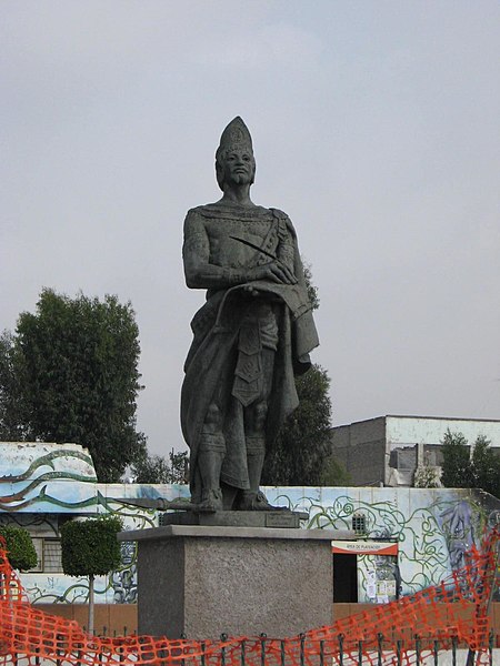
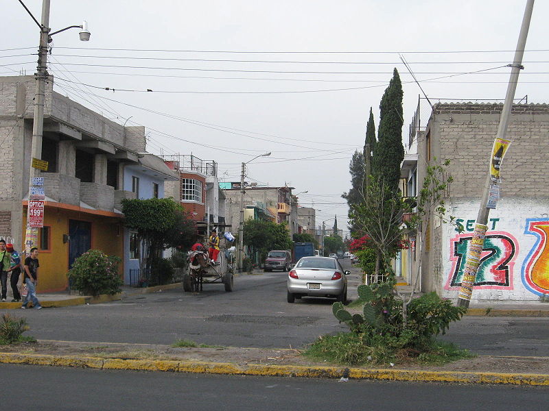
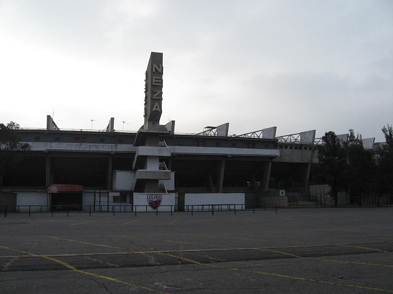
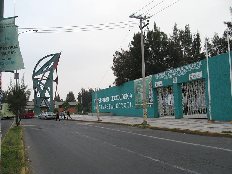
Nezahualcóyotl, Mexiko-Stadt

Galerie (6)
Karte

Karte

Galerie
Fakten und Informationen
Ciudad Nezahualcóyotl, ein Vorort von Mexiko-Stadt, ist die ärmste Millionenstadt Mexikos. Nach offizieller Zählung ist sie die siebtgrößte Stadt des Landes und die zweitgrößte im Bundesstaat México. ()
Adresse
Mexiko-Stadt
KontaktHinzufügen
Soziale Medien
Hinzufügen
Zugang mit öffentlichen Verkehrsmitteln
Haltestellen der öffentlichen Verkehrsmittel in der Nähe des Standorts
- Busse
 Busse
Busse
- Bestimmen Sie die RoutePalacio Municipal 6 Min. Fußweg
- Bestimmen Sie die RouteAdolfo López Mateos 7 Min. Fußweg
- Bestimmen Sie die RouteSor Juana Inés de la Cruz 11 Min. Fußweg
- Bestimmen Sie die RouteEl Castillito 15 Min. Fußweg
Karten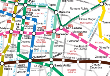 Metro
Metro
MetroTagesausflüge


Häufig gestellte Fragen (FAQ)
Wie kommt man mit öffentlichen Verkehrsmitteln dorthin?
Bahnhöfe und Haltestellen in der Umgebung von Nezahualcóyotl:
Busse
Busse
- Palacio Municipal • Linien: Mexibús L3 Chimalhuacán-Pantitlá, Mexibús L3 Pantitlán-Chimalhuacán (6 Min. Fußweg)
- Adolfo López Mateos • Linien: Mexibús L3 Chimalhuacán-Pantitlá, Mexibús L3 Pantitlán-Chimalhuacán (7 Min. Fußweg)