Trek Zone

Hugaboom Lake, Grand Island National Recreation Area

Nr. 7 unter den Attraktionen in Grand Island National Recreation Area

Natur, Natürliche Anziehungskraft, See
Hugaboom Lake location map
Karte

Fakten und Informationen

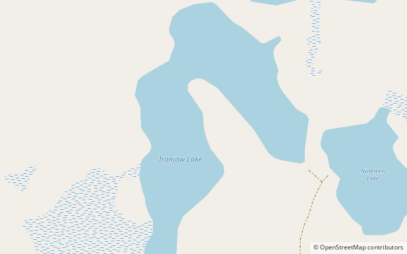
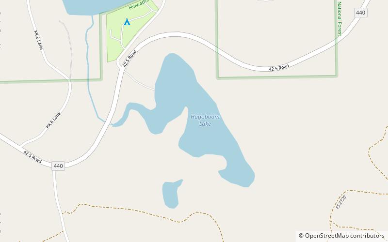
Der Hugaboom Lake ist ein 31 Hektar großer See, der im nördlichen Delta County, Michigan, im Hiawatha National Forest liegt. Er liegt südlich der Bezirksgrenze zu den Staaten Alger und Schoolcraft und etwa anderthalb Kilometer östlich der Kreuzung von Federal Forest Highway 13 und County Road 440. Weitere Seen in der Nähe sind Mowe Lake, Corner-Straits Chain of lakes, Ironjaw Lake und Round Lake.

Höhe: 761 ft ü. d. M.Koordinaten: 46°9'0"N, 86°36'23"W
Adresse

Grand Island National Recreation Area Vereinigte Staaten

KontaktHinzufügen
Soziale Medien
Hinzufügen
Tagesausflüge

Hugaboom Lake – beliebt in der gegend (entfernung vom objekt)

In der Nähe befinden sich unter anderem Attraktionen wie: Toms Lake, Verdant Lake, Lake Nineteen, Ironjaw Lake.

  • toms lake grand island national recreation area location map
    1.1 miNE
  • verdant lake grand island national recreation area location map
    3.4 miNE
  • lake nineteen grand island national recreation area location map
    3.3 miNE
  • ironjaw lake grand island national recreation area location map
    3 miNE
  • big island lake wilderness location map
    6.6 miNE
  • gooseneck lake iv site grand island national recreation area location map
    6.1 miSE
  • jackpine lake site grand island national recreation area location map
    4.9 miSE
  • gooseneck lake iii site grand island national recreation area location map
    6.1 miSE

Wohin als nächstes? Gehen Sie auf die Seite der Region michigan Michigan oder sehen Sie sich alle Orte und Sehenswürdigkeiten in den Vereinigten Staaten an.