Trek Zone

Jackpine Lake Site, Grand Island National Recreation Area
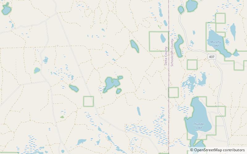
Nr. 14 unter den Attraktionen in Grand Island National Recreation Area

Archäologische Stätte
Jackpine Lake Site location map
Karte

Fakten und Informationen

Die Jackpine Lake Site, auch als 20DE326 bezeichnet, ist eine archäologische Stätte in Delta County, Michigan. Die Stätte stammt aus der Woodland-Periode und liegt etwa 90 Fuß vom Wasser entfernt. Sie befindet sich in der Nähe eines Wildreisbestands. Im Jahr 2014 wurde sie in das National Register of Historic Places aufgenommen.

Koordinaten: 46°7'8"N, 86°30'54"W
Adresse

Grand Island National Recreation Area Vereinigte Staaten

KontaktHinzufügen
Soziale Medien
Hinzufügen
Tagesausflüge

Jackpine Lake Site – beliebt in der gegend (entfernung vom objekt)

In der Nähe befinden sich unter anderem Attraktionen wie: Toms Lake, Verdant Lake, Lake Nineteen, Ironjaw Lake.

  • toms lake grand island national recreation area location map
    4.7 miNW
  • verdant lake grand island national recreation area location map
    4.3 miN
  • lake nineteen grand island national recreation area location map
    3.9 miNW
  • ironjaw lake grand island national recreation area location map
    4.1 miNW
  • hugaboom lake grand island national recreation area location map
    4.9 miNW
  • gooseneck lake iv site grand island national recreation area location map
    3.5 miSW
  • gooseneck lake iii site grand island national recreation area location map
    3.5 miSW

Wohin als nächstes? Gehen Sie auf die Seite der Region michigan Michigan oder sehen Sie sich alle Orte und Sehenswürdigkeiten in den Vereinigten Staaten an.