Trek Zone

Fort Carroll

Nr. 7763 in der Beliebtheitsskala in den Vereinigten Staaten

Insel
Fort Carroll

Fakten und Informationen

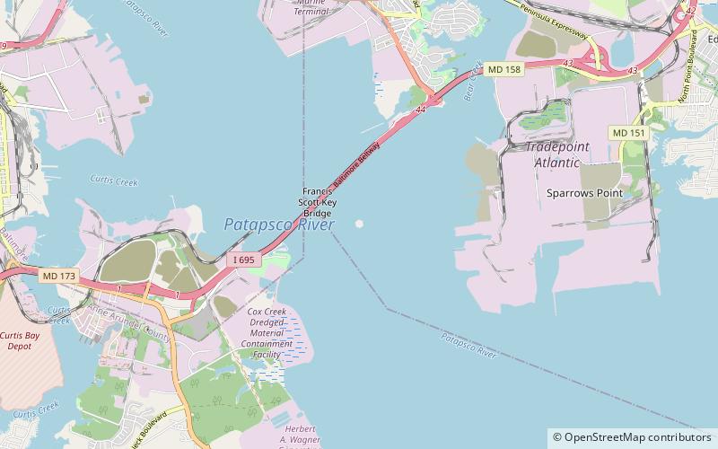
Fort Carroll ist eine 3,4 Hektar große künstliche Insel und ein verlassenes sechseckiges Seefort in der Mitte des Patapsco River, südlich von Baltimore, Maryland. Benannt ist sie nach Charles Carroll aus Carrollton, einem Unterzeichner der Unabhängigkeitserklärung.

Koordinaten: 39°12'53"N, 76°31'9"W
Lokalisierung

MarylandVereinigte Staaten

KontaktHinzufügen
Soziale Medien
Hinzufügen
Tagesausflüge

Fort Carroll – beliebt in der gegend (entfernung vom objekt)

In der Nähe befinden sich unter anderem Attraktionen wie: Fort McHenry, Star-Spangled Banner National Historic Trail, Armistead Monument, Todd's Inheritance.

  • fort mchenry baltimore4.6 miNW
  • star spangled banner national historic trail baltimore4.7 miNW
  • armistead monument baltimore4.8 miNW
  • todds inheritance baltimore4.3 miE
  • centre at glen burnie location map
    5.2 miW
  • ss john w brown baltimore4.6 miNW
  • fort carroll light baltimore~90 ftSE
  • francis scott key bridge baltimore0.5 miNW
  • lazaretto point light baltimore location map
    4.3 miNW
  • maritime industrial zoning overlay district baltimore location map
    4.4 miNW
  • fort holabird baltimore location map
    3.9 miN

Wohin als nächstes? Gehen Sie auf die Seite der Region maryland Maryland oder sehen Sie sich alle Orte und Sehenswürdigkeiten in den Vereinigten Staaten an.