Trek Zone

Lenawee Mountain, Arapahoe Basin

Nr. 3 unter den Attraktionen in Arapahoe Basin

Natur, Natürliche Anziehungskraft, Berg
Lenawee Mountain location map
Karte

Fakten und Informationen

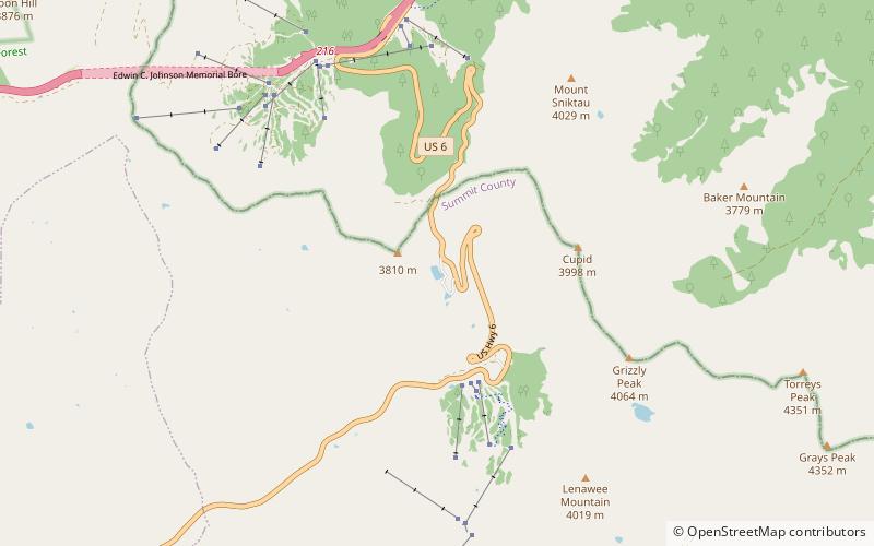
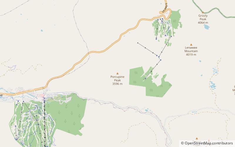
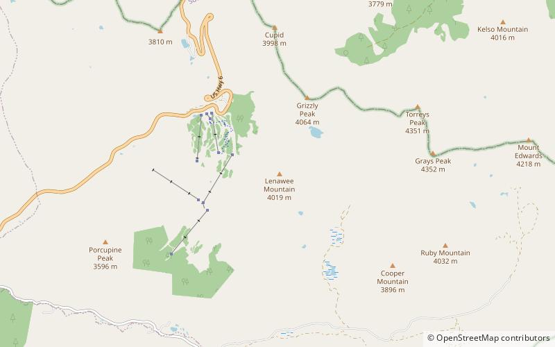
Lenawee Mountain ist ein Berg östlich von Dillon im Summit County, Colorado. Porcupine Peak liegt westlich von Lenawee Mountain und Grizzly Peak befindet sich nordöstlich. Das Skigebiet Arapahoe Basin befindet sich auf einem Teil des Berges.

Höhenlage: 13186 ftKoordinaten: 39°37'48"N, 105°51'22"W
Adresse

Arapahoe Basin Vereinigte Staaten

KontaktHinzufügen
Soziale Medien
Hinzufügen
Tagesausflüge

Lenawee Mountain – beliebt in der gegend (entfernung vom objekt)

In der Nähe befinden sich unter anderem Attraktionen wie: Loveland Ski Area, Grays Peak, Pass Lake, Torreys Peak.

  • loveland ski area arapaho national forest4.1 miNW
  • grays peak arapaho national forest2 miE
  • pass lake arapahoe basin location map
    2.1 miNW
  • torreys peak arapaho national forest2.1 miNE
  • american discovery trail arapaho national forest location map
    3.9 miE
  • grizzly peak arapaho national forest1.1 miN
  • mount sniktau arapaho national forest3.3 miN
  • grays peak trail arapaho national forest2.5 miE
  • clear creek arapaho national forest4.7 miNW
  • mount edwards arapaho national forest3.3 miE
  • porcupine peak arapahoe basin location map
    2.4 miW

Wohin als nächstes? Gehen Sie auf die Seite der Region colorado Colorado oder sehen Sie sich alle Orte und Sehenswürdigkeiten in den Vereinigten Staaten an.