Trek Zone

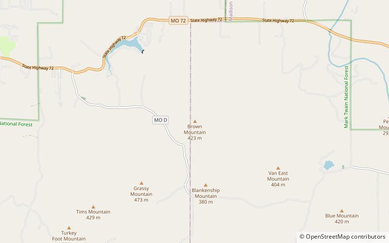
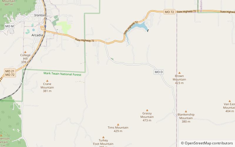
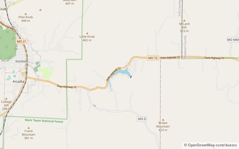
Lake Killarney, Mark Twain National Forest

Nr. 6 unter den Attraktionen in Mark Twain National Forest

Natur, Natürliche Anziehungskraft, See
Lake Killarney location map
Karte

Fakten und Informationen

Der Killarney-See ist ein Stausee im Iron County im US-Bundesstaat Missouri.

Der Killarney-See hat seinen Namen von den Seen von Killarney in Irland.

Höhe: 837 ft ü. d. M.Koordinaten: 37°35'28"N, 90°34'16"W
Adresse

Mark Twain National Forest Vereinigte Staaten

KontaktHinzufügen
Soziale Medien
Hinzufügen
Tagesausflüge

Lake Killarney – beliebt in der gegend (entfernung vom objekt)

In der Nähe befinden sich unter anderem Attraktionen wie: Arcadia Valley, Brown Mountain, Blue Mountain, Iron County Courthouse.

  • arcadia valley ironton3.1 miW
  • brown mountain mark twain national forest location map
    2 miSE
  • blue mountain mark twain national forest location map
    5.3 miSE
  • iron county courthouse ironton3.2 miW
  • fort hovey arcadia location map
    3 miW
  • st pauls episcopal church ironton3.1 miW
  • ironton lodge hall3.3 miW
  • devils den hollow mark twain national forest location map
    1.6 miS
  • arcadia college3.2 miW

Wohin als nächstes? Gehen Sie auf die Seite der Region missouri Missouri oder sehen Sie sich alle Orte und Sehenswürdigkeiten in den Vereinigten Staaten an.