Trek Zone

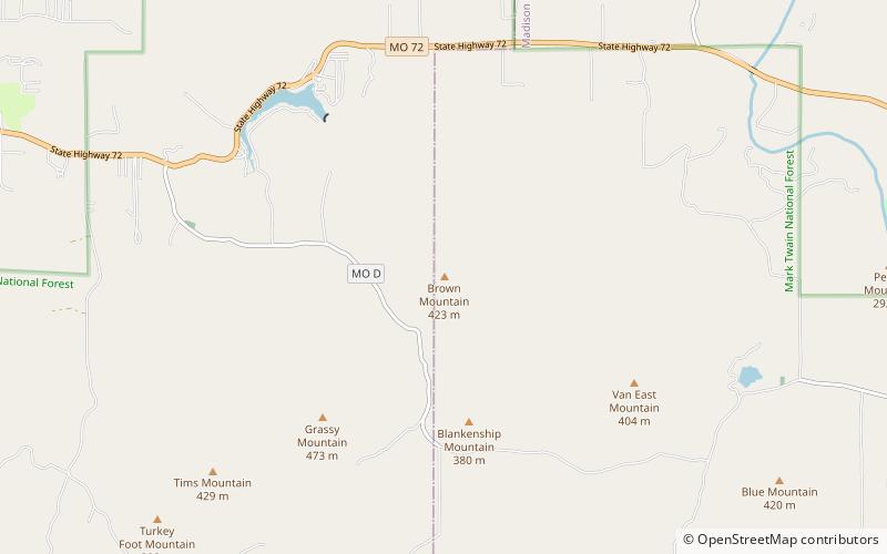
Brown Mountain, Mark Twain National Forest

Nr. 14 unter den Attraktionen in Mark Twain National Forest

Natur, Natürliche Anziehungskraft, Berg
Brown Mountain location map
Karte

Fakten und Informationen

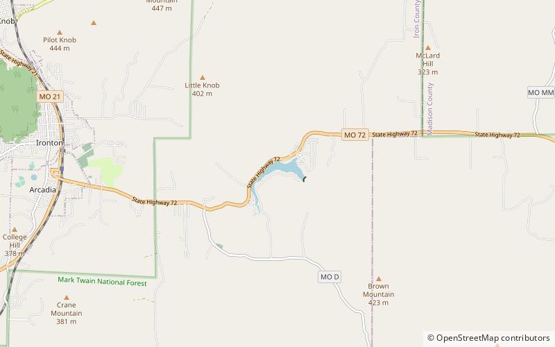
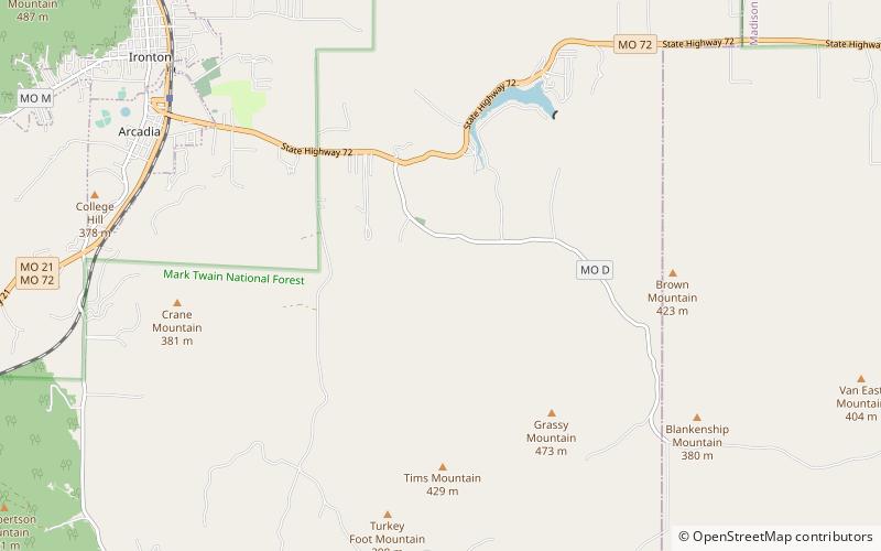
Brown Mountain ist ein Gipfel im Iron County im US-Bundesstaat Missouri. Der Gipfel liegt auf einer Höhe von 1.388 Fuß.

Der Brown Mountain trägt den Namen der örtlichen Familie Brown.

Koordinaten: 37°34'14"N, 90°32'46"W
Adresse

Mark Twain National Forest Vereinigte Staaten

KontaktHinzufügen
Soziale Medien
Hinzufügen
Tagesausflüge

Brown Mountain – beliebt in der gegend (entfernung vom objekt)

In der Nähe befinden sich unter anderem Attraktionen wie: Lake Killarney, Arcadia Valley, Blue Mountain, Iron County Courthouse.

  • lake killarney mark twain national forest location map
    2 miNW
  • arcadia valley ironton5 miNW
  • blue mountain mark twain national forest location map
    3.3 miSE
  • iron county courthouse ironton4.9 miW
  • fort hovey arcadia location map
    4.6 miW
  • st pauls episcopal church ironton4.9 miNW
  • ironton lodge hall5 miNW
  • devils den hollow mark twain national forest location map
    2 miW
  • arcadia college4.6 miW

Wohin als nächstes? Gehen Sie auf die Seite der Region missouri Missouri oder sehen Sie sich alle Orte und Sehenswürdigkeiten in den Vereinigten Staaten an.