Metro Pictures Gallery, New York City
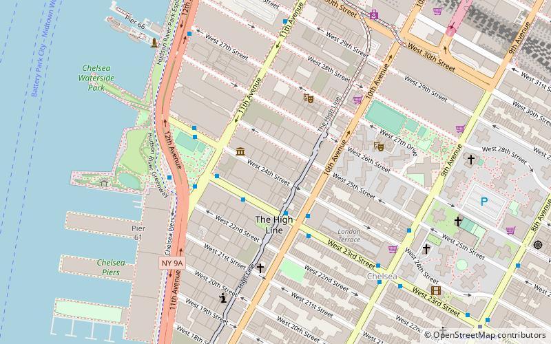
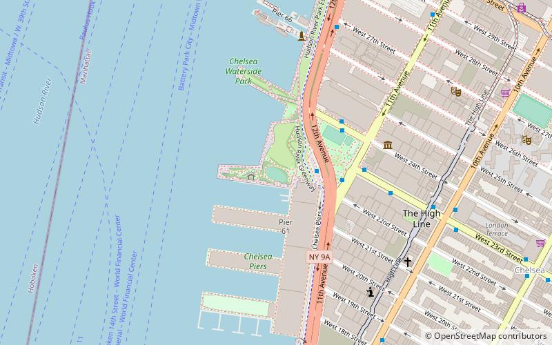
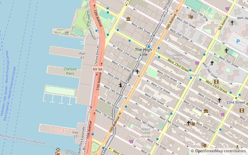
Karte
Fakten und Informationen
Metro Pictures ist eine Kunstgalerie in New York City, die 1980 von Janelle Reiring und Helene Winer gegründet wurde. Sie befand sich bis 1995 in SoHo und zog dann nach Chelsea um. Im März 2021 gab die Galerie bekannt, dass sie im Dezember schließen wird.
Koordinaten: 40°44'56"N, 74°0'17"W
Adresse
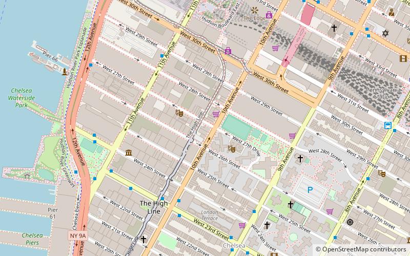
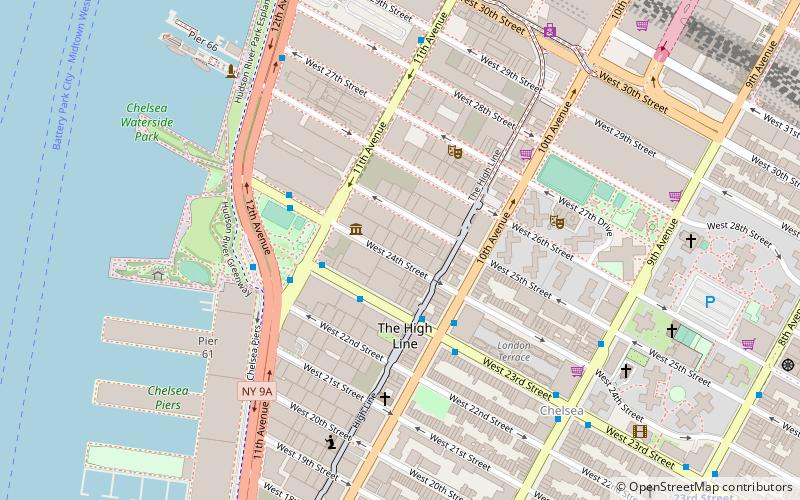
Midtown Manhattan (Chelsea)New York City
Kontakt
+1 212-206-7100
Soziale Medien
Hinzufügen
Zugang mit öffentlichen Verkehrsmitteln
Haltestellen der öffentlichen Verkehrsmittel in der Nähe des Standorts
- Metro
- Busse
- Stadtbahn
- Bahn
- Fähre
 Metro
Metro
- Bestimmen Sie die RouteWest 24th Street & 11th Avenue 4 Min. Fußweg
- Bestimmen Sie die Route12th Avenue & West 23rd Street 5 Min. Fußweg
- Bestimmen Sie die Route10th Avenue & West 15th Street 12 Min. Fußweg
- Bestimmen Sie die RouteMegabus 13 Min. Fußweg
- Bestimmen Sie die Route23rd Street 11 Min. Fußweg
- Bestimmen Sie die Route34th Street–Hudson Yards 13 Min. Fußweg
- Bestimmen Sie die Route14th Street 15 Min. Fußweg
- Bestimmen Sie die RoutePennsylvania Station 14 Min. Fußweg
- Bestimmen Sie die RouteNew York Pennsylvania Station 17 Min. Fußweg
- Bestimmen Sie die RouteHoboken Terminal 39 Min. Fußweg
- Bestimmen Sie die RouteMidtown/West 39th Street 21 Min. Fußweg
- Bestimmen Sie die RouteHoboken 14th Street 25 Min. Fußweg
- Bestimmen Sie die RouteLincoln Harbor 30 Min. Fußweg
- Bestimmen Sie die RouteHoboken NJ Transit Terminal 38 Min. Fußweg
- Bestimmen Sie die RouteLincoln Harbor 34 Min. Fußweg
Karten MetroKarten
 Manhattan Bus
MetroKartenManhattan BusTagesausflüge
Metro Pictures Gallery – beliebt in der gegend (entfernung vom objekt)
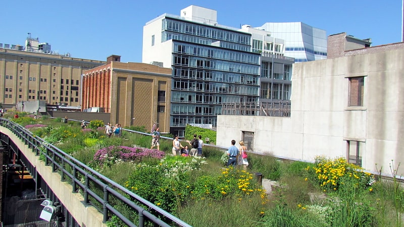
In der Nähe befinden sich unter anderem Attraktionen wie: High Line, Pier 62 Skatepark, Jack Shainman Gallery, Chelsea Piers.


Häufig gestellte Fragen (FAQ)
Welche beliebten Attraktionen gibt es in der Nähe?
Zu den nahe gelegenen Attraktionen gehören. Luhring Augustine Gallery, New York City (1 Min. Fußweg), Matthew Marks Gallery, New York City (1 Min. Fußweg), Hill Art Foundation, New York City (2 Min. Fußweg), International Print Center New York, New York City (3 Min. Fußweg).
Wie kommt man mit öffentlichen Verkehrsmitteln dorthin?
Bahnhöfe und Haltestellen in der Umgebung von Metro Pictures Gallery:
Busse
Metro
Bahn
Fähre
Stadtbahn
Busse
- West 24th Street & 11th Avenue • Linien: M23 Sbs (4 Min. Fußweg)
- 12th Avenue & West 23rd Street • Linien: M23 Sbs (5 Min. Fußweg)
Metro
- 23rd Street • Linien: A, C, E (11 Min. Fußweg)
- 34th Street–Hudson Yards • Linien: <7>, 7 (13 Min. Fußweg)
Bahn
- Pennsylvania Station (14 Min. Fußweg)
- New York Pennsylvania Station (17 Min. Fußweg)
Fähre
- Midtown/West 39th Street (21 Min. Fußweg)
- Hoboken 14th Street (25 Min. Fußweg)
Stadtbahn
- Lincoln Harbor • Linien: Hblr (34 Min. Fußweg)