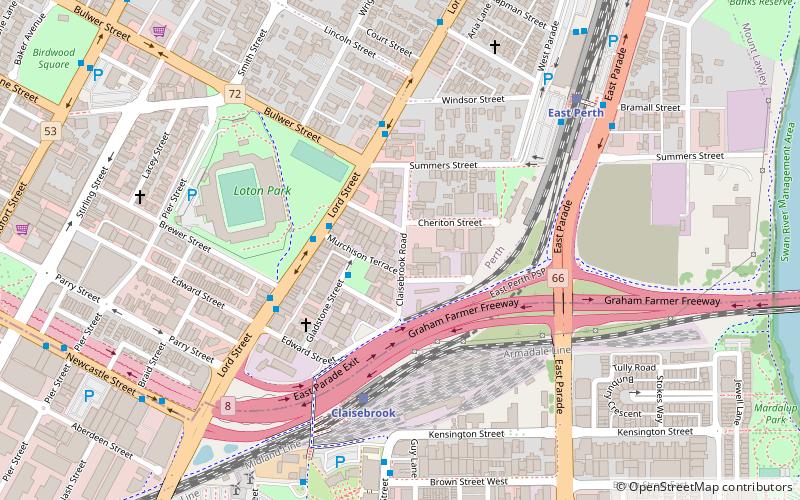
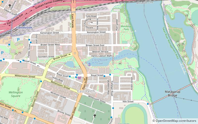
Claisebrook Road, Perth
Mapa
Datos e información práctica
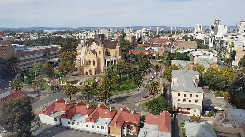
Claisebrook Road es una carretera de Perth, Australia Occidental, que originalmente discurría entre Summers Street, al norte, y Wittenoom St, East Perth, al sur.
Coordenadas: 31°56'48"S, 115°52'24"E
Dirección
East PerthPerth
ContactoAñadir
Medios de comunicación social
Añadir
Acceso en transporte público
Paradas de transporte público en los alrededores
- Autobuses
- Ferrocarril
- Transbordador
 Autobuses
- Determinar la rutaClaisebrook 5 min. a pie
- Determinar la rutaEast Perth 8 min. a pie
- Determinar la rutaMcIver 14 min. a pie
- Determinar la rutaPerth 21 min. a pie
- Determinar la rutaClaisebrook Station 9 min. a pie
- Determinar la rutaEast Perth TAFE 10 min. a pie
- Determinar la rutaEducational Department 10 min. a pie
- Determinar la rutaRoyal Street Car Park 11 min. a pie
- Determinar la rutaBarrack Street Jetty 33 min. a pie
- Determinar la rutaElizabeth Quay Ferry Terminal 33 min. a pie
Excursiones de un día
Claisebrook Road – popular en la zona (distancia de esta atracción)
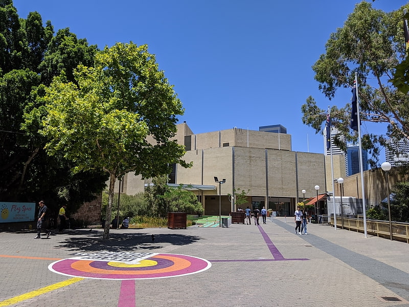
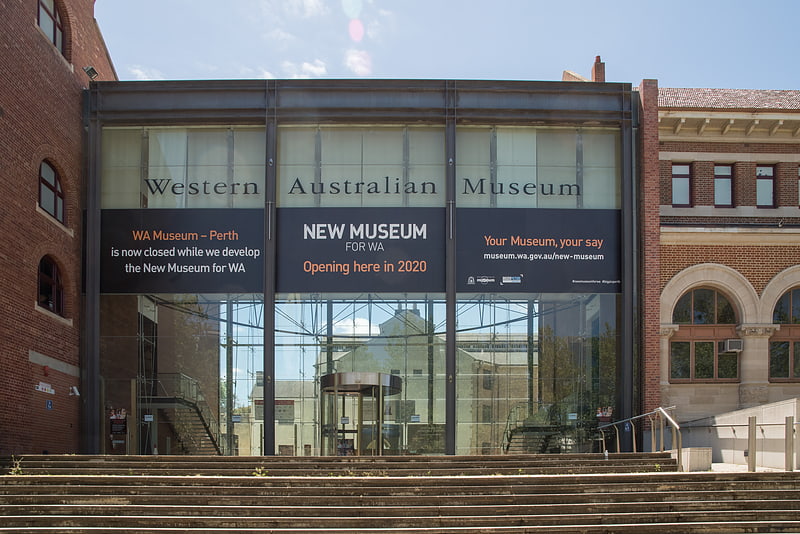
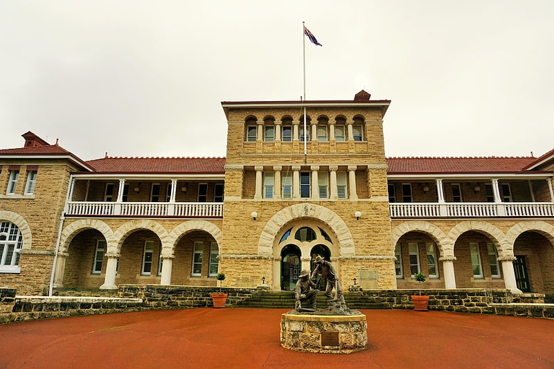
En las cercanías se encuentran, entre otras, atracciones como: Art Gallery of Western Australia, Western Australian Museum, Perth Mint, Catedral de Santa María de Perth.


Preguntas frecuentes (FAQs)
¿Qué atracciones populares hay cerca?
Las atracciones cercanas incluyen Perth Oval, Perth (6 min. a pie), Graham Farmer Freeway, Perth (8 min. a pie), Claisebrook Cove, Perth (13 min. a pie), Wellington Square, Perth (14 min. a pie).
¿Cómo llegar en transporte público?
Estaciones y paradas en los alrededores de Claisebrook Road:
Ferrocarril
Autobuses
Transbordador
Ferrocarril
- Claisebrook (5 min. a pie)
- East Perth (8 min. a pie)
Autobuses
- Claisebrook Station • Líneas: 3F, 3T (9 min. a pie)
- East Perth TAFE • Líneas: 3F, 3T (10 min. a pie)
Transbordador
- Barrack Street Jetty • Líneas: Express (33 min. a pie)
- Elizabeth Quay Ferry Terminal • Líneas: Transperth Ferry - Elizabeth Qua, Transperth Ferry - Mends Street (33 min. a pie)