Inglewood-Finn Hill, Kirkland
Mapa
Datos e información práctica
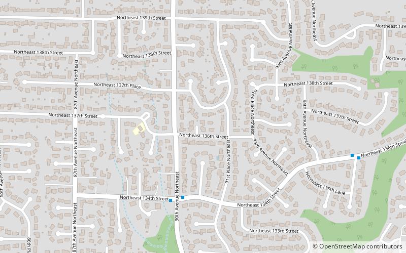
Inglewood-Finn Hill es un lugar designado por el censo ubicado en el condado de King en el estado estadounidense de Washington. En el año 2000 tenía una población de 22.661 habitantes y una densidad poblacional de 1.514,5 personas por km². ()
Dirección
Finn HillKirkland
ContactoAñadir
Medios de comunicación social
Añadir
Acceso en transporte público
Paradas de transporte público en los alrededores
- Autobuses
 Autobuses
- Determinar la rutaNE 134th St & 90th Ave NE 4 min. a pie
- Determinar la rutaNE 132nd St & 86th Ave NE 11 min. a pie
- Determinar la ruta84th Ave NE & NE 138th St 12 min. a pie
Excursiones de un día


Preguntas frecuentes (FAQs)
¿Cómo llegar en transporte público?
Estaciones y paradas en los alrededores de Inglewood-Finn Hill:
Autobuses
Autobuses
- NE 134th St & 90th Ave NE • Líneas: 225 (4 min. a pie)
- NE 132nd St & 86th Ave NE • Líneas: 225 (11 min. a pie)