Trek Zone

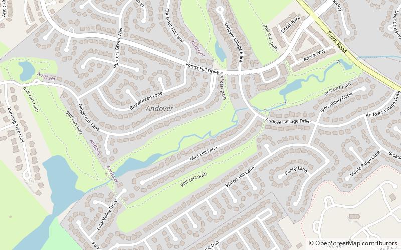
Andover Hills, Lexington

Nº 95 entre las atracciones en Lexington

Vecindario
Andover Hills location map
Mapa

Datos e información práctica

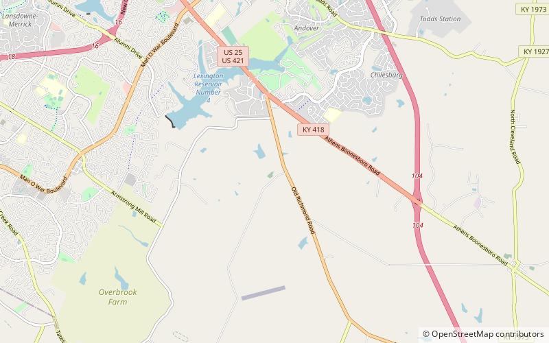
Andover Hills es una subdivisión en el sureste de Lexington, Kentucky, Estados Unidos. Sus límites son Todds Road al este, Hays Boulevard al sur, Jacobson Park al oeste y Mapleleaf Park al norte. Las escuelas del distrito son Athens Chilesburg Elementary School, Edythe J. Hayes Middle School y Henry Clay High School.

Superficie: 0.47 mi²Coordenadas: 37°59'47"N, 84°24'53"W
Dirección

Boone Creek (Andover Hills)Lexington Estados Unidos

ContactoAñadir
Medios de comunicación social
Añadir
Excursiones de un día

Andover Hills – popular en la zona (distancia de esta atracción)

En las cercanías se encuentran, entre otras, atracciones como: Hamburg Pavilion, Ashland, Boone Station, Catedral de Cristo Rey.

  • hamburg pavilion lexington location map
    1.8 miN
  • ashland lexington4.2 miNW
  • boone station lexington4.4 miSE
  • catedral de cristo rey lexington4.3 miNW
  • the salon at henry clay lexington3.9 miNW
  • walnut hill presbyterian church lexington location map
    2 miS
  • bell court lexington4.9 miNW
  • andover forest lexington location map
    0.9 miN
  • kenwick lexington location map
    4.1 miNW
  • autumn ridge lexington location map
    0.6 miNE
  • liberty heights lexington location map
    4 miNW

Preguntas frecuentes (FAQs)

¿Qué atracciones populares hay cerca?

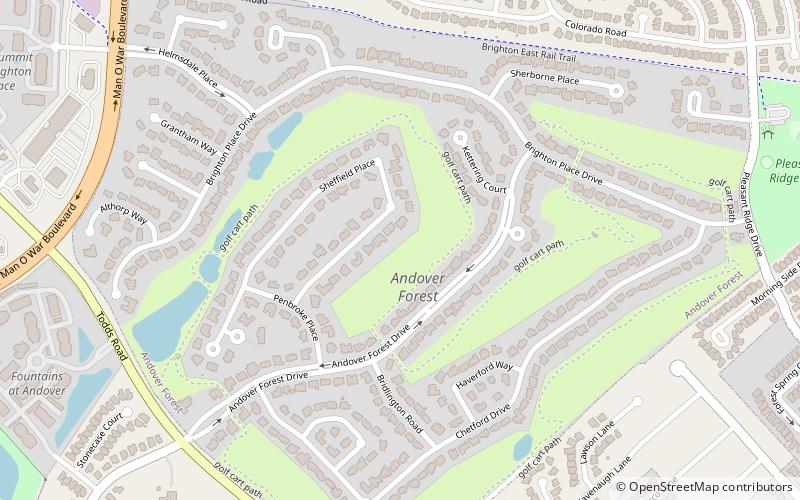
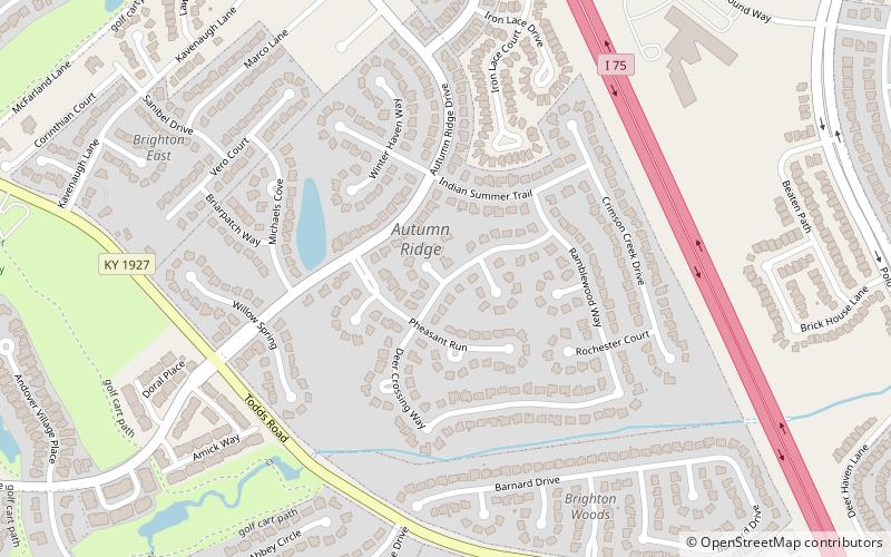
Las atracciones cercanas incluyen Autumn Ridge, Lexington (16 min. a pie), Andover Forest, Lexington (23 min. a pie).

¿Qué sigue? Vaya a la página de la región de kentucky Kentucky o vea todos los lugares y atracciones en Estados Unidos.