Carmarthen Bridge, Carmarthen
Mapa
Galería
Datos e información práctica
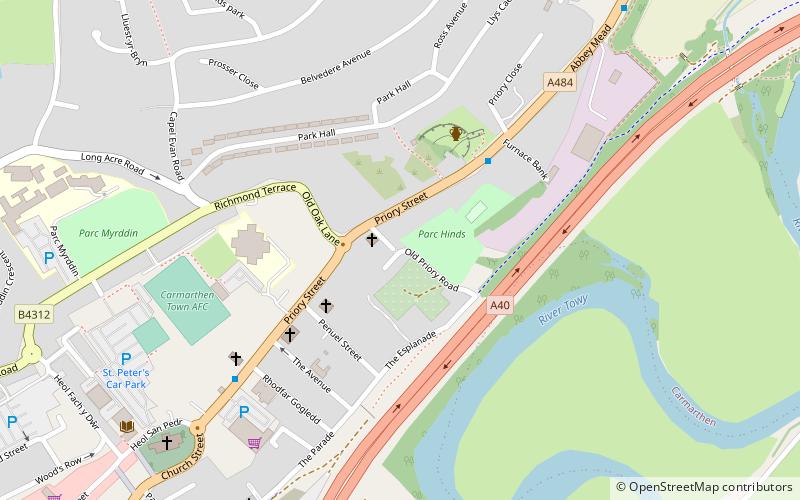
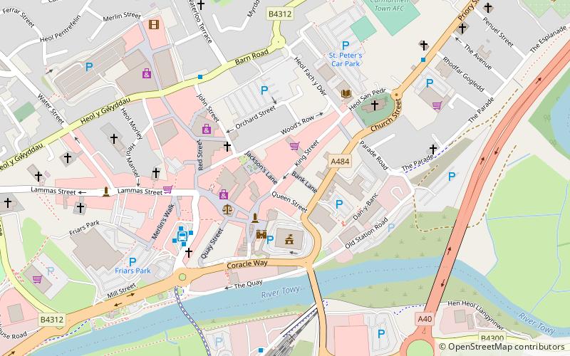
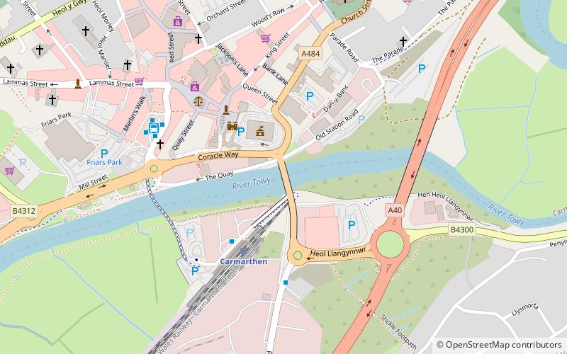
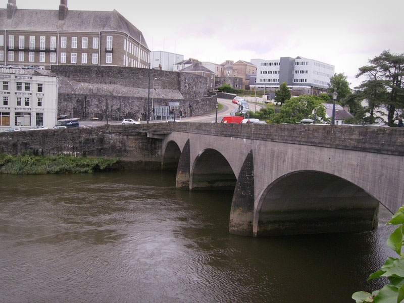
El puente de Carmarthen es el moderno puente de carretera de la década de 1930 que cruza el río Tywi en Carmarthen, Gales, y que lleva la carretera A484.
Coordenadas: 51°51'17"N, 4°18'16"W
Dirección
Carmarthen
ContactoAñadir
Medios de comunicación social
Añadir
Excursiones de un día
Carmarthen Bridge – popular en la zona (distancia de esta atracción)
En las cercanías se encuentran, entre otras, atracciones como: Richmond Park, Carmarthen Castle, Carmarthen Priory, St Peter's Church.
Preguntas frecuentes (FAQs)
¿Qué atracciones populares hay cerca?
Las atracciones cercanas incluyen Carmarthen Castle, Carmarthen (2 min. a pie), Carmarthen Public Rooms, Carmarthen (4 min. a pie), St Peter's Church, Carmarthen (7 min. a pie), English Baptist Church, Carmarthen (7 min. a pie).
¿Cómo llegar en transporte público?
Estaciones y paradas en los alrededores de Carmarthen Bridge:
Autobuses
Ferrocarril
Autobuses
- Carmarthen Rail Station • Líneas: T1, T1S (3 min. a pie)
- Carmarthen Bus Station • Líneas: T1 (5 min. a pie)
Ferrocarril
- Carmarthen (3 min. a pie)
- Abergwili Junction (36 min. a pie)


