East Hertfordshire District Council, Hertford
Datos e información práctica
El Consejo de Distrito de East Hertfordshire es la autoridad local del distrito no metropolitano de East Hertfordshire en Inglaterra, Reino Unido. East Hertfordshire abarca la mayor parte del tercio oriental de Hertfordshire, en la región de East of England. El área del consejo incluye la ciudad del condado de Hertford, la ciudad más grande del distrito, Bishop's Stortford, Ware, Sawbridgeworth, Buntingford y los pueblos vecinos.
El consejo es responsable de una serie de servicios locales, como la recogida de basuras y el reciclaje, la planificación, el control de edificios, la concesión de licencias, la vivienda, el aparcamiento y la recaudación de impuestos municipales. El Consejo se llama oficialmente "East Hertfordshire District Council", pero su marca corporativa es "East Herts Council". El término "East Herts Council" es de uso común en los periódicos locales, y "East Herts" es utilizado por muchas otras organizaciones locales como término geográfico.
El Consejo está actualmente controlado por los conservadores, que ganaron 40 de los 50 escaños del consejo en las últimas elecciones de 2019.
- Autobuses
- Ferrocarril
 Autobuses
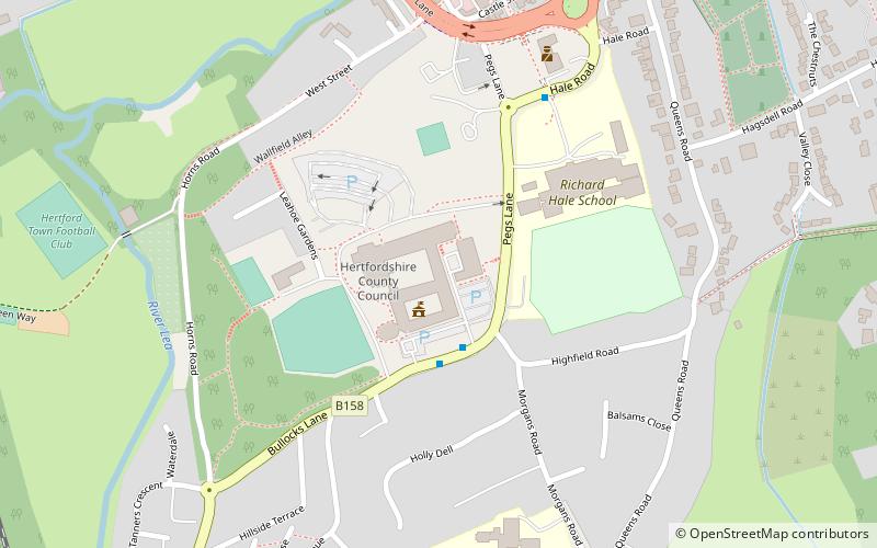
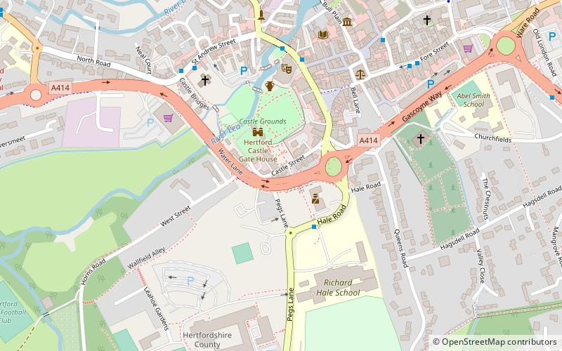
- Determinar la rutaBus Station 13 min. a pie
- Determinar la rutaHertford Bus Station 13 min. a pie
- Determinar la rutaHertford East 17 min. a pie
- Determinar la rutaHertford North 18 min. a pie
East Hertfordshire District Council – popular en la zona (distancia de esta atracción)
En las cercanías se encuentran, entre otras, atracciones como: Hertford Museum, All Saints' Church, The White Horse, Hartham Common.


Preguntas frecuentes (FAQs)
¿Qué atracciones populares hay cerca?
¿Cómo llegar en transporte público?
Autobuses
- Bus Station • Líneas: 10, 724 (13 min. a pie)
- Hertford Bus Station (13 min. a pie)
Ferrocarril
- Hertford East (17 min. a pie)
- Hertford North (18 min. a pie)