Bristol and Bath Railway Path, Bristol


Datos e información práctica
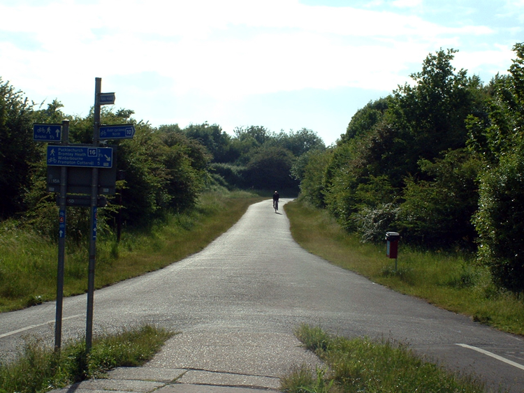
El Bristol and Bath Railway Path es una vía verde que conecta las ciudades de Bristol y Bath en el Reino Unido, ofreciendo un espacio idílico para caminantes, ciclistas y corredores. Este sendero de 21 kilómetros, establecido sobre una antigua línea ferroviaria, es un ejemplo sobresaliente de la reconversión de infraestructuras en desuso en rutas recreativas para el disfrute de la comunidad y los visitantes.
El trayecto, que forma parte de la red nacional de ciclovías, se caracteriza por su superficie pavimentada y suave, lo que lo hace accesible para usuarios de todas las edades y habilidades. A lo largo del camino, los viajeros pueden disfrutar de la belleza natural de la región, con paisajes que varían desde áreas boscosas hasta espacios abiertos, y vistas panorámicas de la campiña inglesa.
Además de su valor recreativo, el Bristol and Bath Railway Path es un corredor ecológico que promueve la sostenibilidad y el transporte no motorizado. Es un lugar perfecto para escapar del bullicio de la ciudad y sumergirse en la tranquilidad de la naturaleza, sin alejarse demasiado de las comodidades urbanas.
El sendero está bien señalizado y cuenta con puntos de descanso, áreas de picnic y servicios, lo que facilita su uso para excursiones de un día. Asimismo, es un recurso educativo, ya que a lo largo de la ruta hay paneles informativos que relatan la historia del ferrocarril y la importancia de la vía en la época industrial.
El Bristol and Bath Railway Path no solo es un lugar para la actividad física, sino también un punto de encuentro para la comunidad, donde se organizan eventos y actividades que fomentan la interacción social y el bienestar. Su mantenimiento y promoción son resultado del trabajo conjunto entre autoridades locales, organizaciones no gubernamentales y voluntarios, lo que refleja el compromiso colectivo con la conservación del patrimonio y el medio ambiente.
Bristol and Bath Railway Path – popular en la zona (distancia de esta atracción)
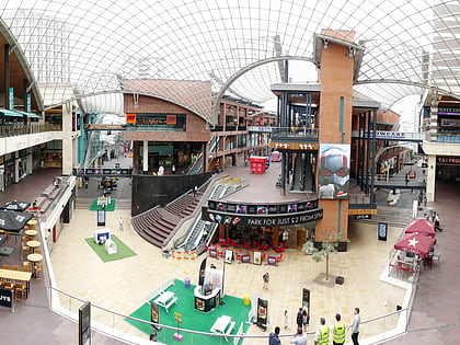
En las cercanías se encuentran, entre otras, atracciones como: Broadmead, Cabot Circus, The Galleries, Temple Church.
Preguntas frecuentes (FAQs)
¿Qué atracciones populares hay cerca?
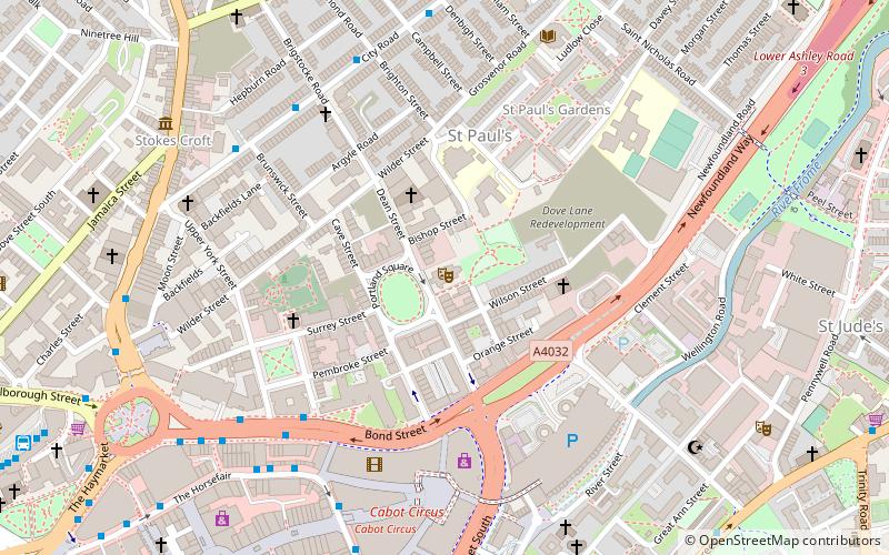
¿Cómo llegar en transporte público?
Autobuses
- West Street • Líneas: 43 (4 min. a pie)
- Easton Road • Líneas: 43 (5 min. a pie)
Ferrocarril
- Lawrence Hill (13 min. a pie)
- Estación de Bristol Temple Meads (14 min. a pie)
Transbordador
- City Centre • Líneas: Hotwells-Centre (26 min. a pie)
- Prince Street Bridge • Líneas: Hotwells-Centre (28 min. a pie)


