Castlefield, Mánchester
Datos e información práctica
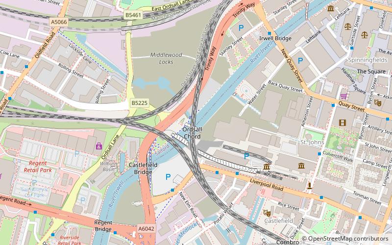
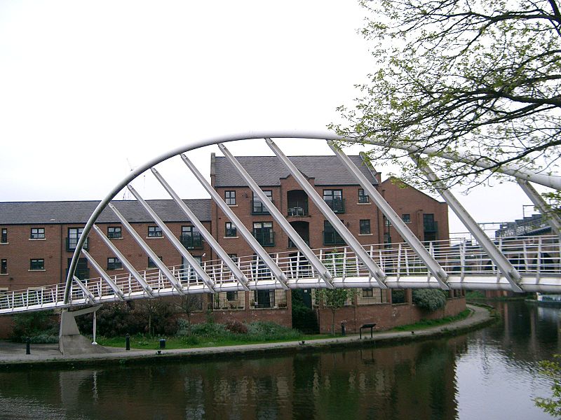
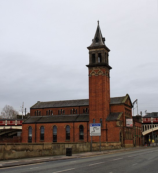
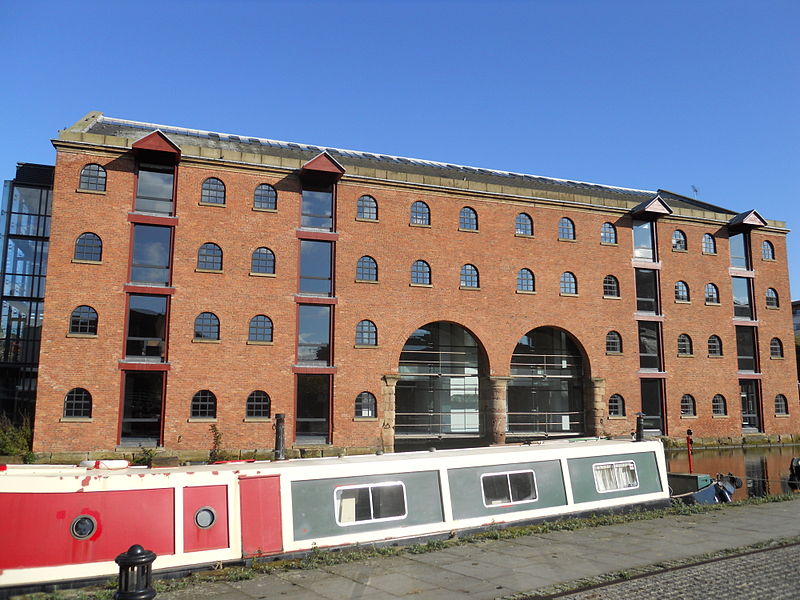
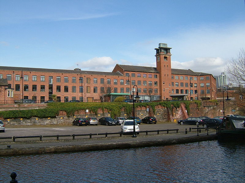
Castlefield es un área de conservación del centro de Manchester, en el noroeste de Inglaterra. El área de conservación que lleva su nombre está delimitada por el río Irwell, Quay Street, Deansgate y Chester Road. Fue el emplazamiento del fuerte romano de Mamucium o Mancunium, que dio nombre a Manchester. Fue el término del canal Bridgewater, el primer canal industrial del mundo, construido en 1764; el almacén más antiguo del canal se inauguró en 1779. El primer ferrocarril de pasajeros del mundo terminó aquí en 1830, en la estación de Liverpool Road, y el primer almacén ferroviario abrió aquí en 1831.
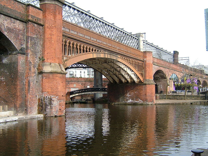
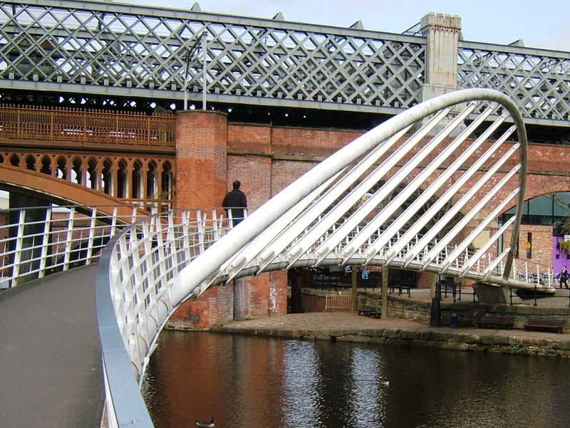
El canal de Rochdale se unió al canal de Bridgewater en Castlefield en 1805 y en la década de 1830 se unieron con el Mersey and Irwell Navigation mediante dos atajos. En 1848, los dos viaductos del ferrocarril de Manchester, South Junction y Altrincham cruzaron la zona y se unieron entre sí, a los que siguieron otros dos viaductos y una estación principal. Cuenta con una estación de tranvía, la parada de tranvía Deansgate-Castlefield que ofrece servicios frecuentes de Manchester Metrolink a Eccles, Bury, Altrincham, Manchester Piccadilly, East Didsbury y Rochdale.
Castlefield fue designado área de conservación en 1980 y el primer parque urbano patrimonial del Reino Unido en 1982.
City CentreMánchester
Castlefield – popular en la zona (distancia de esta atracción)
En las cercanías se encuentran, entre otras, atracciones como: Deansgate, Museum of Science and Industry, The Briton's Protection, Quay Street.
Preguntas frecuentes (FAQs)
¿Qué atracciones populares hay cerca?
¿Cómo llegar en transporte público?
Autobuses
- Liverpool Rd/Museum • Líneas: 1, 33B (1 min. a pie)
- Liverpool Road/Barton St • Líneas: 33 (2 min. a pie)
Tranvías
- Deansgate-Castlefield • Líneas: Airp, Altr, Asht, Bury, Dean, Eccl, EDid, Mcuk, Picc, Roch, Shaw, Vict (4 min. a pie)
- St. Peter's Square • Líneas: Airp, Altr, Asht, Bury, Eccl, EDid, Mcuk, Picc, Roch, Shaw, Vict (12 min. a pie)
Ferrocarril
- Deansgate (5 min. a pie)
- Manchester Oxford Road (13 min. a pie)



 Metrolink
 Metrolink


