Trek Zone

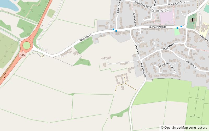
Stanwick Hall, Stanwick

Nº 4 entre las atracciones en Stanwick

Turismo
Stanwick Hall location map
Mapa

Datos e información práctica

Stanwick Hall es un edificio protegido de grado II*, en gran parte georgiano, situado en el extremo occidental del pueblo de Stanwick, en Northamptonshire.

Coordenadas: 52°19'49"N, 0°34'13"W
Dirección

Stanwick Gran Bretaña

ContactoAñadir
Medios de comunicación social
Añadir
Excursiones de un día

Stanwick Hall – popular en la zona (distancia de esta atracción)

En las cercanías se encuentran, entre otras, atracciones como: Church of St Mary the Virgin, Stanwick Lakes, Council Buildings, Rushden Transport Museum.

  • church of st mary the virgin wellingborough5 miSW
  • stanwick lakes0.6 miNW
  • council buildings rushden3 miS
  • rushden transport museum location map
    2.7 miSW
  • irchester narrow gauge railway museum wellingborough5.4 miSW
  • ditchford lakes and meadows3.2 miSW
  • st peters church raunds1.9 miNE
  • the castle theatre wellingborough5.4 miSW
  • st andrews church4.9 miNW
  • church of st mary magdalene4.9 miSE
  • kinewell lake2.5 miN

Preguntas frecuentes (FAQs)

¿Qué atracciones populares hay cerca?

Las atracciones cercanas incluyen Church of St Laurence, Stanwick (9 min. a pie), Stanwick Lakes, Stanwick (16 min. a pie).

¿Qué sigue? Vaya a la página de la región de inglaterra Inglaterra o vea todos los lugares y atracciones en Gran Bretaña.