Irlams o' th' Height, Mánchester
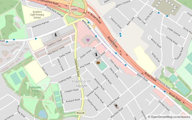
Mapa
Datos e información práctica
IRLAMS O 'TH' Hight es un suburbio de Salford, Greater Manchester, Inglaterra.
Coordenadas: 53°29'59"N, 2°18'32"W
Dirección
Salford (Claremont)Mánchester
ContactoAñadir
Medios de comunicación social
Añadir
Acceso en transporte público
Paradas de transporte público en los alrededores
- Autobuses
- Tranvías
- Ferrocarril
 Autobuses
- Determinar la rutaBolton Road/Co-op Superstore 3 min. a pie
- Determinar la rutaBank Lane/Deacons Drive 4 min. a pie
- Determinar la rutaDuchy Road/Summerville Road 8 min. a pie
- Determinar la rutaLadywell 34 min. a pie
- Determinar la rutaEccles 40 min. a pie
- Determinar la rutaEccles 37 min. a pie
- Determinar la rutaSwinton 40 min. a pie
Mapas MetrolinkMapas
 Metrolink
MetrolinkMapasMetrolinkExcursiones de un día
Irlams o' th' Height – popular en la zona (distancia de esta atracción)
En las cercanías se encuentran, entre otras, atracciones como: Salford Shopping Centre, Church of St Mary the Virgin, Buile Hill Park, St Thomas' Church.


Preguntas frecuentes (FAQs)
¿Qué atracciones populares hay cerca?
Las atracciones cercanas incluyen Buile Hill Park, Mánchester (17 min. a pie), Agecroft Cemetery, Mánchester (24 min. a pie).
¿Cómo llegar en transporte público?
Estaciones y paradas en los alrededores de Irlams o' th' Height:
Autobuses
Tranvías
Ferrocarril
Autobuses
- Bolton Road/Co-op Superstore • Líneas: 74 (3 min. a pie)
- Bank Lane/Deacons Drive • Líneas: 74 (4 min. a pie)
Tranvías
- Ladywell • Líneas: Asht, Eccl (34 min. a pie)
- Eccles • Líneas: Asht, Eccl (40 min. a pie)
Ferrocarril
- Eccles (37 min. a pie)
- Swinton (40 min. a pie)