All Saints, Wolverhampton
Datos e información práctica
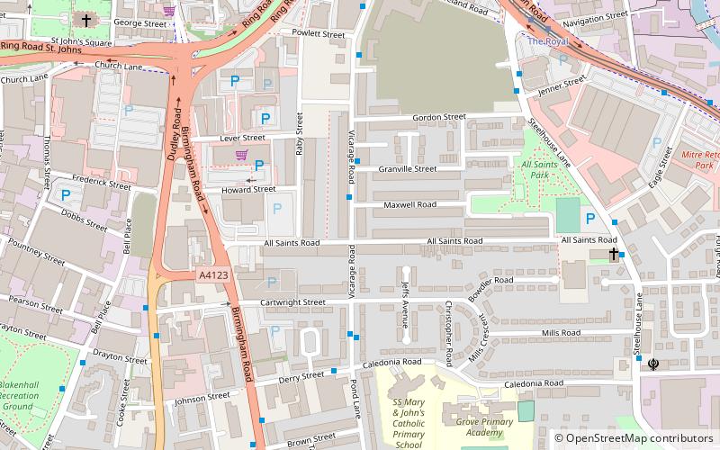
All Saints es una zona del centro de la ciudad de Wolverhampton, West Midlands, Inglaterra. Está situada inmediatamente al sureste del centro de la ciudad, en el distrito de Ettingshall del ayuntamiento.
Está formado en su mayor parte por casas adosadas de finales del siglo XIX y principios del XX, habitadas principalmente por inmigrantes sijs y ravidas del subcontinente indio. Entre los puntos de referencia modernos de la zona se encuentran The Workspace, una instalación de oficinas en el emplazamiento de la antigua escuela primaria All Saints, los concesionarios de automóviles Ford y Nissan, una bolera y un gimnasio público Fitness First. El Royal Hospital de Wolverhampton, que cerró en junio de 1997, está situado en la zona.
Se trata de una zona bastante deprimida, con altos niveles de delincuencia y desempleo, y con gran parte del parque de viviendas en un estado lamentable. Ya en la década de 1980, muchas casas de la zona carecían de baños y aseos interiores. Desde entonces, un número importante de estas viviendas antiguas han sido demolidas.
All Saints es atendido por All Saints Action Network, una empresa social que opera en la zona desde 1997 y que busca hacer de All Saints un lugar mejor para vivir y trabajar
EttingshallWolverhampton
- Autobuses
- Tranvías
- Ferrocarril
 Autobuses
- Determinar la rutaVicarage Rd / Granville Street 2 min. a pie
- Determinar la rutaDerry St / Vicarage Rd 4 min. a pie
- Determinar la rutaThe Royal 7 min. a pie
- Determinar la rutaWolverhampton St Georges 11 min. a pie
- Determinar la rutaPriestfield 28 min. a pie
- Determinar la rutaWolverhampton 17 min. a pie
All Saints – popular en la zona (distancia de esta atracción)
En las cercanías se encuentran, entre otras, atracciones como: Wolverhampton Art Gallery, Molineux Stadium, Monmore Green Stadium, St Peter's Collegiate Church.


Preguntas frecuentes (FAQs)
¿Qué atracciones populares hay cerca?
¿Cómo llegar en transporte público?
Autobuses
- Vicarage Rd / Granville Street • Líneas: 52, 81 (2 min. a pie)
- Derry St / Vicarage Rd • Líneas: 81 (4 min. a pie)
Tranvías
- The Royal • Líneas: 1 (7 min. a pie)
- Wolverhampton St Georges • Líneas: 1 (11 min. a pie)
Ferrocarril
- Wolverhampton (17 min. a pie)