Borough of Berwick-upon-Tweed, Berwick-upon-Tweed
Datos e información práctica
Berwick-upon-Tweed fue un distrito y municipio del gobierno local de Northumberland, en el noreste de Inglaterra, en la frontera con Escocia. El distrito tenía una población residente de 25.949 personas según el censo de 2001, que también señala que es el más homogéneo desde el punto de vista étnico del país, ya que el 99,6% de la población se registró en el censo de 2001 como blanca. También es el distrito más pequeño de Inglaterra con estatus de borough, y el tercer distrito de gobierno local con menor densidad de población.
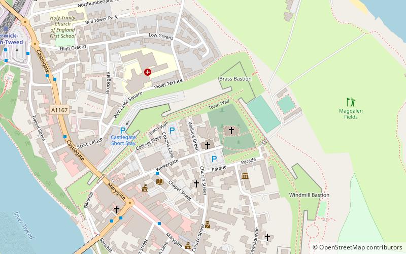
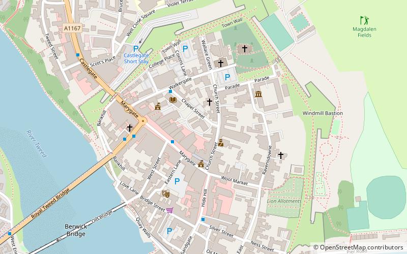
Su principal ciudad es Berwick-upon-Tweed, situada inmediatamente al norte del estuario del Tweed. La ciudad es antigua, escenario de varias batallas; tiene quizás el mejor ejemplo que se conserva de una muralla, construida con fines defensivos.
Al sur del estuario, el puerto de Tweedmouth es el punto de exportación de diversas mercancías, pero sobre todo de grano y piedra de construcción. El resto del municipio es rural, y limita al oeste con las colinas de Cheviot, y al este con una pintoresca costa.
El municipio se formó el 1 de abril de 1974 mediante la fusión del anterior municipio de Berwick-upon-Tweed con el distrito rural de Belford, el distrito rural de Glendale y el distrito rural de Norham e Islandshires.
Berwick fue el primer distrito de Gran Bretaña que celebró un referéndum sobre la conveniencia de tener un alcalde elegido directamente. Este referéndum, celebrado el 7 de junio de 2001, se decidió en contra de un alcalde elegido.
El distrito fue suprimido como parte de los cambios estructurales de 2009 en el gobierno local de Inglaterra, que entraron en vigor el 1 de abril de 2009, con la transferencia de responsabilidades al Consejo del Condado de Northumberland, una autoridad unitaria.
- Autobuses
- Ferrocarril
 Autobuses
- Determinar la rutaGolden Square 6 min. a pie
- Determinar la rutaBerwick, Castlegate Red Lion 6 min. a pie
- Determinar la rutaBerwick, Castlegate 7 min. a pie
- Determinar la rutaBerwick-upon-Tweed 10 min. a pie
Borough of Berwick-upon-Tweed – popular en la zona (distancia de esta atracción)
En las cercanías se encuentran, entre otras, atracciones como: Shielfield Park, Berwick Barracks, Berwick town walls, Church of the Holy Trinity.


Preguntas frecuentes (FAQs)
¿Qué atracciones populares hay cerca?
¿Cómo llegar en transporte público?
Autobuses
- Golden Square • Líneas: 60, 67, Bus 67 (6 min. a pie)
- Berwick, Castlegate Red Lion • Líneas: 67, Bus 67 (6 min. a pie)
Ferrocarril
- Berwick-upon-Tweed (10 min. a pie)