Houndsgate, Nottingham
Mapa

Mapa

Datos e información práctica
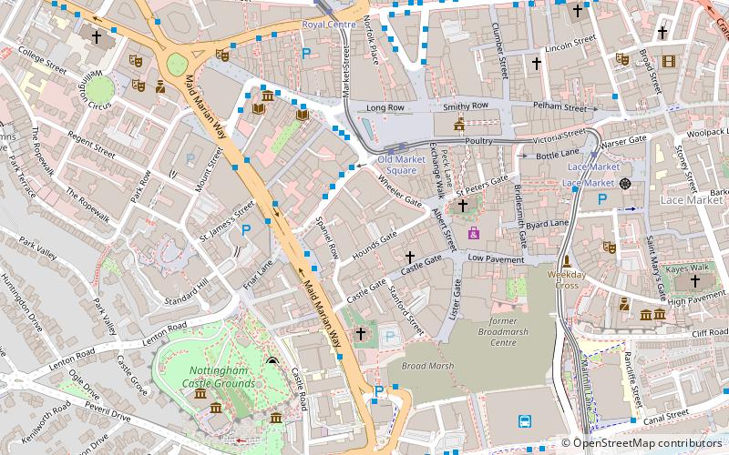
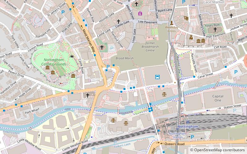
Houndsgate es una calle histórica en el centro de la ciudad de Nottingham, entre St Peter's Square y Castle Road.
Coordenadas: 52°57'7"N, 1°9'3"W
Dirección
BridgeNottingham
ContactoAñadir
Medios de comunicación social
Añadir
Excursiones de un día
Houndsgate – popular en la zona (distancia de esta atracción)
En las cercanías se encuentran, entre otras, atracciones como: Ye Olde Trip to Jerusalem, Nottingham Castle, intu Broadmarsh, Nottingham Council House.
Preguntas frecuentes (FAQs)
¿Qué atracciones populares hay cerca?
Las atracciones cercanas incluyen Wheeler Gate, Nottingham (2 min. a pie), Congregational Federation, Nottingham (2 min. a pie), Nottingham Whitefriars, Nottingham (2 min. a pie), Beastmarket Hill, Nottingham (3 min. a pie).
¿Cómo llegar en transporte público?
Estaciones y paradas en los alrededores de Houndsgate:
Autobuses
Tranvías
Ferrocarril
Autobuses
- Friar Lane • Líneas: 18, 20, 21, 90, Bus Indigo, Club Class, Cotgrave Connection, i4, Keyworth Connection, Rushcliffe Villager, Skylink, Xprss, Y5 (2 min. a pie)
- Maid Marian Way • Líneas: 1, 18, 2, 20, 21, 3, 34, 4, 48, Bus Indigo, Citylink 1, i4, L64, N34, N4, N48, W4, Y5 (3 min. a pie)
Tranvías
- Old Market Square • Líneas: 1, 2 (3 min. a pie)
- Royal Centre • Líneas: 1, 2 (6 min. a pie)
Ferrocarril
- Nottingham (11 min. a pie)


