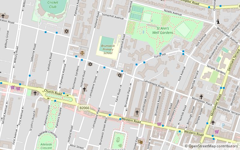
Brighton and Hove Progressive Synagogue, Brighton


Datos e información práctica
La Sinagoga Progresista de Brighton y Hove, también conocida como Adat Shalom Verei'ut, es una sinagoga liberal en Hove, Sussex, Inglaterra. Se fundó en 1935 y actualmente cuenta con más de 300 miembros.
Danny Rich, antiguo jefe ejecutivo del Judaísmo Liberal, es el rabino interino; Gabriel Kanter-Webber asumirá el cargo de rabino de forma permanente a partir del verano de 2022. Elizabeth Tikvah Sarah fue nombrada rabina en el año 2000 y ahora es rabina emérita, ya que se retiró en 2021.
Los servicios se celebran semanalmente los viernes por la noche y los sábados por la mañana y también en las principales fiestas judías.
Brunswick and AdelaideBrighton
Brighton and Hove Progressive Synagogue – popular en la zona (distancia de esta atracción)
En las cercanías se encuentran, entre otras, atracciones como: Churchill Square, Adelaide Crescent, 11 Dyke Road, Palmeira Square.
Preguntas frecuentes (FAQs)
¿Qué atracciones populares hay cerca?
¿Cómo llegar en transporte público?
Autobuses
- Lansdowne Road • Líneas: 21A (2 min. a pie)
- Furze Croft • Líneas: 21A (2 min. a pie)
Ferrocarril
- Hove (19 min. a pie)
- Brighton (21 min. a pie)


