Stoney Street, Nottingham
Mapa

Mapa

Datos e información práctica
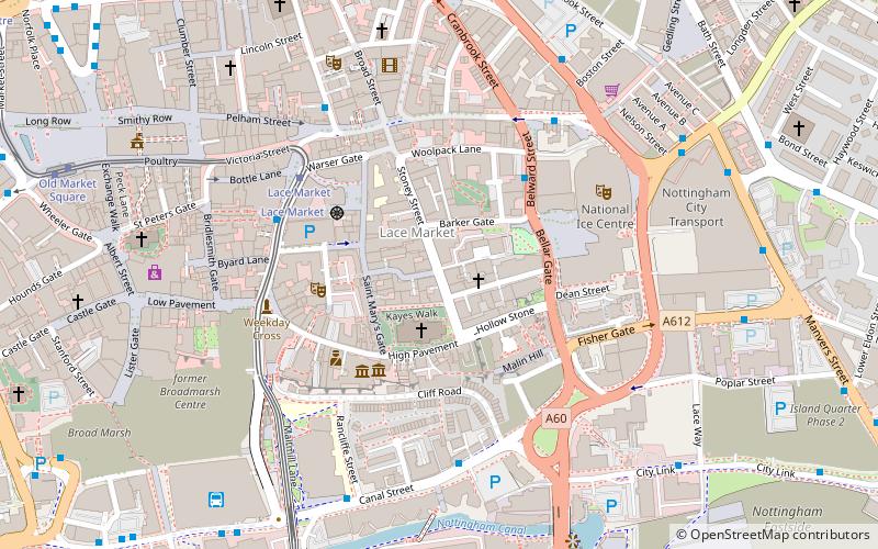
Stoney Street es una calle histórica en el centro de la ciudad de Nottingham entre High Pavement y Carlton Street.
Coordenadas: 52°57'7"N, 1°8'34"W
Dirección
BridgeNottingham
ContactoAñadir
Medios de comunicación social
Añadir
Excursiones de un día
Stoney Street – popular en la zona (distancia de esta atracción)
En las cercanías se encuentran, entre otras, atracciones como: intu Broadmarsh, Nottingham Council House, National Ice Centre, City of Caves.
Preguntas frecuentes (FAQs)
¿Qué atracciones populares hay cerca?
Las atracciones cercanas incluyen High Pavement Chapel, Nottingham (1 min. a pie), Lace Market, Nottingham (1 min. a pie), St Mary's Church, Nottingham (2 min. a pie), Lace Market Theatre, Nottingham (2 min. a pie).
¿Cómo llegar en transporte público?
Estaciones y paradas en los alrededores de Stoney Street:
Tranvías
Autobuses
Ferrocarril
Tranvías
- Lace Market • Líneas: 1, 2 (4 min. a pie)
- Old Market Square • Líneas: 1, 2 (9 min. a pie)
Autobuses
- Fletcher Gate • Líneas: 10, 11, 11C, 34, 5, 6, 7, 76, 77, 78, 79, 8, 9, Citylink 1, L1, N34, N77, W1 (4 min. a pie)
- Canal Street • Líneas: 50 (4 min. a pie)
Ferrocarril
- Nottingham (9 min. a pie)


