Havering Town Hall, Romford
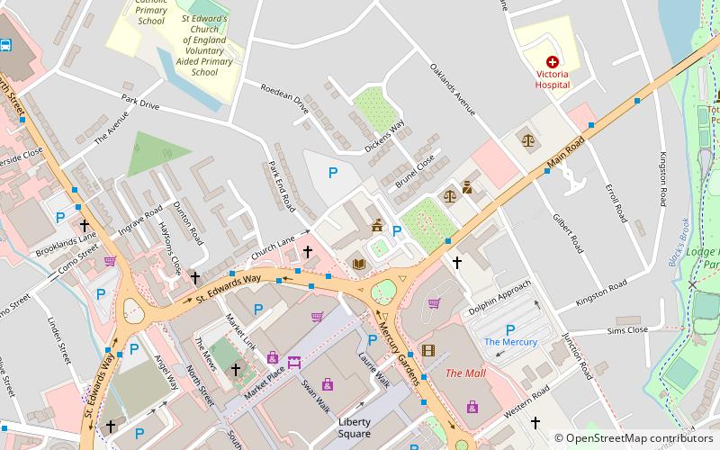
Mapa

Mapa

Datos e información práctica
El Ayuntamiento de Havering es un edificio municipal situado en Main Road, Romford, Londres. El ayuntamiento, que es la sede del Havering London Borough Council, es un edificio protegido de grado II.
Coordenadas: 51°34'53"N, 0°11'1"E
Dirección
Havering (Romford Town)Romford
ContactoAñadir
Medios de comunicación social
Añadir
Excursiones de un día
Havering Town Hall – popular en la zona (distancia de esta atracción)
En las cercanías se encuentran, entre otras, atracciones como: Romford Greyhound Stadium, The Mercury Mall, The Brewery, Church of St Edward the Confessor.
Preguntas frecuentes (FAQs)
¿Qué atracciones populares hay cerca?
Las atracciones cercanas incluyen Church of St Edward the Confessor, Romford (2 min. a pie), Romford Market, Londres (4 min. a pie), Havering Museum, Londres (9 min. a pie), Lodge Farm Park, Romford (10 min. a pie).
¿Cómo llegar en transporte público?
Estaciones y paradas en los alrededores de Havering Town Hall:
Autobuses
Ferrocarril
Autobuses
- Romford Police Station • Líneas: 174, 347, 498, 499, 686, N86 (3 min. a pie)
- Romford Market • Líneas: 375 (3 min. a pie)
Ferrocarril
- Romford (12 min. a pie)
- Gidea Park (25 min. a pie)


