Moor Lane, Mánchester
Mapa

Mapa

Datos e información práctica
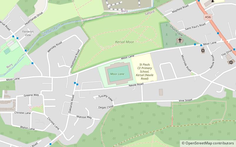
Moor Lane, conocido como Peninsula Stadium por razones de patrocinio, es un estadio de fútbol ubicado en Salford, Gran Mánchester, en la región noroeste de Inglaterra, y es la casa del Salford City. ()
Dirección
Salford (Kersal)Mánchester
ContactoAñadir
Medios de comunicación social
Añadir
Excursiones de un día
Moor Lane – popular en la zona (distancia de esta atracción)
En las cercanías se encuentran, entre otras, atracciones como: Kersal Moor, Drinkwater Park, Church of St Mary the Virgin, Greek Orthodox Church of the Annunciation.
Preguntas frecuentes (FAQs)
¿Qué atracciones populares hay cerca?
Las atracciones cercanas incluyen Kersal Moor, Mánchester (3 min. a pie), Kersal Priory, Mánchester (14 min. a pie), Agecroft Cemetery, Mánchester (20 min. a pie), Manchester Zoological Gardens, Mánchester (20 min. a pie).
¿Cómo llegar en transporte público?
Estaciones y paradas en los alrededores de Moor Lane:
Autobuses
Tranvías
Autobuses
- Moor Lane • Líneas: X43 (10 min. a pie)
- Bury New Road/Northumberland Street • Líneas: X43 (19 min. a pie)
Tranvías
- Heaton Park • Líneas: Altr, Bury, Picc (32 min. a pie)
- Bowker Vale • Líneas: Altr, Bury, Picc (35 min. a pie)

 Metrolink
 Metrolink


