Trek Zone

High Road, Attenborough Nature Reserve

Nº 2 entre las atracciones en Attenborough Nature Reserve

Calle
High Road location map
Mapa

Datos e información práctica

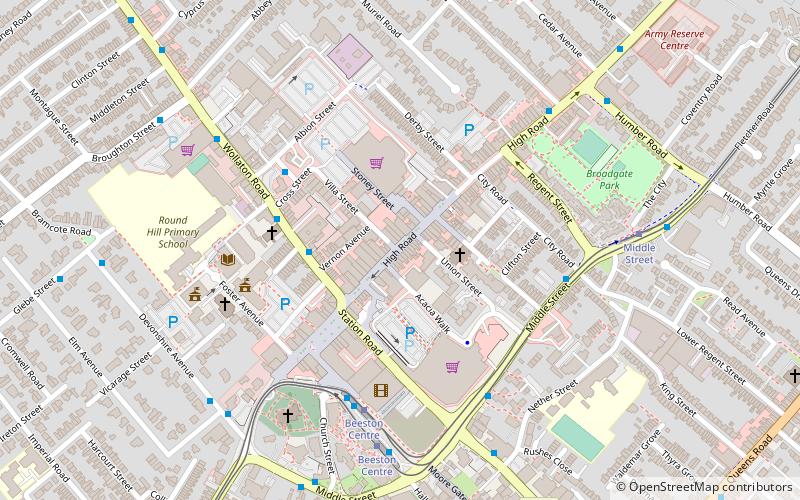
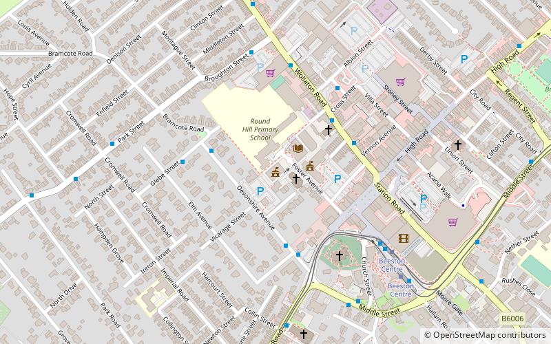
High Road, Beeston es una calle comercial peatonal en Beeston, Nottinghamshire. Va desde Beeston Square hasta Humber Road.

Coordenadas: 52°55'40"N, 1°12'51"W
Dirección

Attenborough Nature Reserve Gran Bretaña

ContactoAñadir
Medios de comunicación social
Añadir
Excursiones de un día

High Road – popular en la zona (distancia de esta atracción)

En las cercanías se encuentran, entre otras, atracciones como: Highfields Park, Nottingham Tennis Centre, Beeston Town Hall, Nottingham New Theatre.

  • highfields park nottingham1 miNE
  • nottingham tennis centre1.1 miNE
  • beeston town hall attenborough nature reserve location map
    ~990 ftW
  • nottingham new theatre1 miNE
  • st john the baptist church nottingham~950 ftSW
  • st barnabas church nottingham0.8 miN
  • hallward library nottingham1 miNE
  • beeston nottingham~900 ftSW
  • universidad de nottingham1 miNE
  • chilwell road methodist church nottingham~1520 ftSW
  • queens road methodist church nottingham~1970 ftE

Preguntas frecuentes (FAQs)

¿Qué atracciones populares hay cerca?

Las atracciones cercanas incluyen Beeston, Nottingham (5 min. a pie), St John the Baptist Church, Nottingham (5 min. a pie), Beeston Town Hall, Attenborough Nature Reserve (5 min. a pie), War Memorial Cross, Nottingham (6 min. a pie).

¿Qué sigue? Vaya a la página de la región de inglaterra Inglaterra o vea todos los lugares y atracciones en Gran Bretaña.