Mapperley, Nottingham
Mapa

Mapa

Datos e información práctica
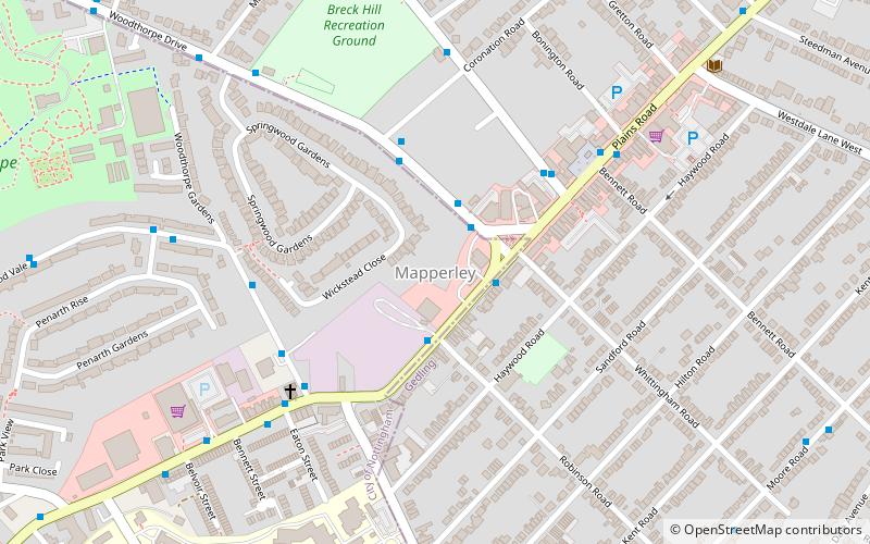
Mapperley es una zona residencial y comercial del noreste de Nottingham, Inglaterra. La zona limita con Sherwood al noroeste, Thorneywood al sur y Gedling al este.
Coordenadas: 52°58'59"N, 1°7'29"W
Dirección
MapperleyNottingham
ContactoAñadir
Medios de comunicación social
Añadir
Excursiones de un día
Mapperley – popular en la zona (distancia de esta atracción)
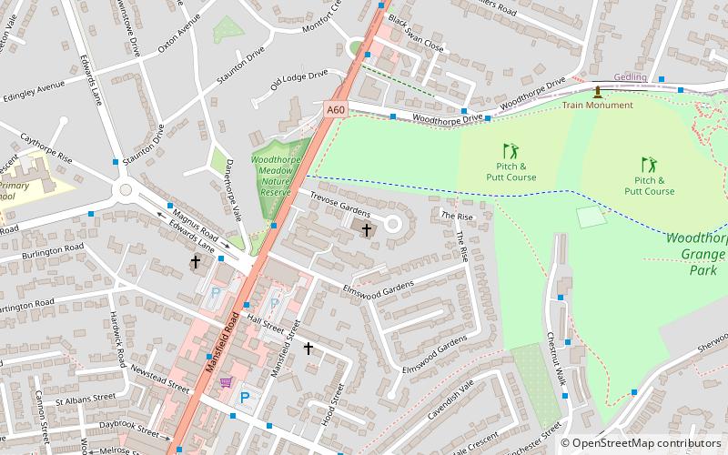
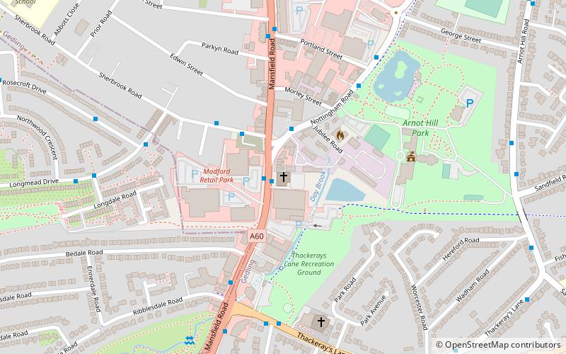
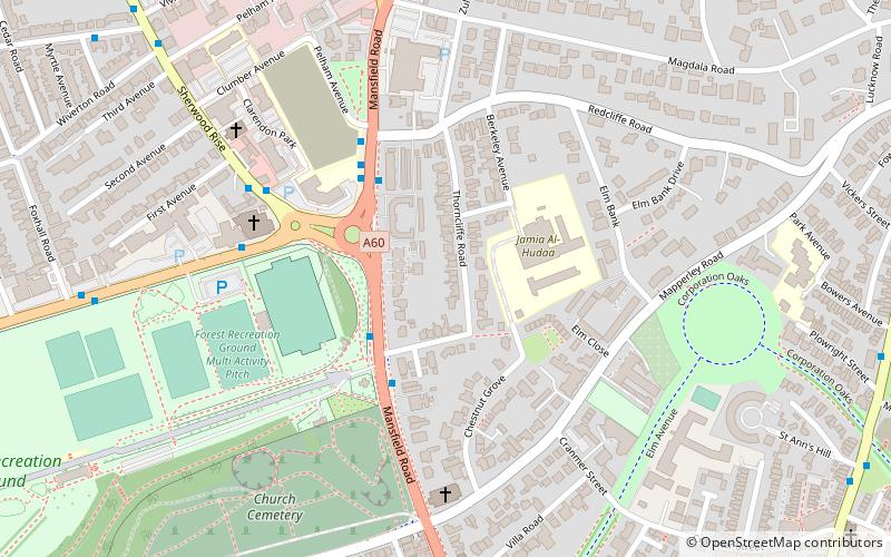
En las cercanías se encuentran, entre otras, atracciones como: St Paul's Church, Woodthorpe Grange Park, St Andrew's Church, St Jude's Church.
Preguntas frecuentes (FAQs)
¿Qué atracciones populares hay cerca?
Las atracciones cercanas incluyen Mapperley Methodist Church, Nottingham (4 min. a pie), Woodthorpe Grange Park, Nottingham (13 min. a pie), St Jude's Church, Nottingham (18 min. a pie), St Martin's Church, Nottingham (19 min. a pie).
¿Cómo llegar en transporte público?
Estaciones y paradas en los alrededores de Mapperley:
Autobuses
Autobuses
- Whittingham Road • Líneas: 45, 46, 47, N27 (2 min. a pie)
- Robinson Road • Líneas: 45, 46, 47, L9 (2 min. a pie)


