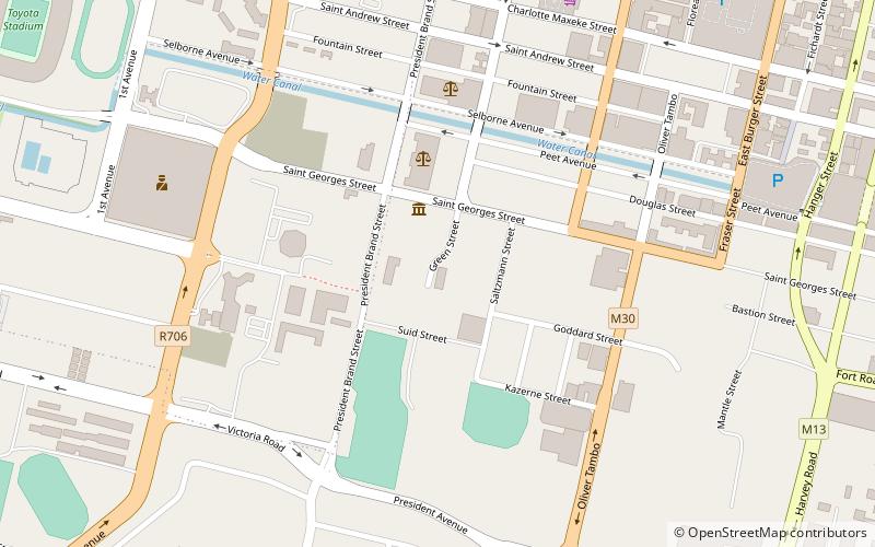
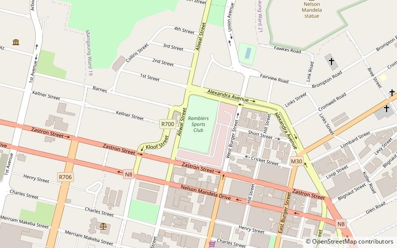
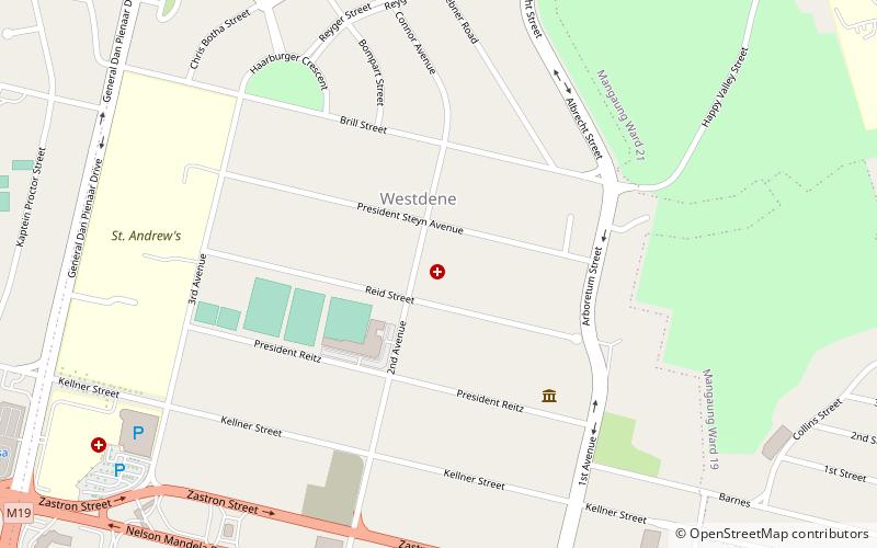
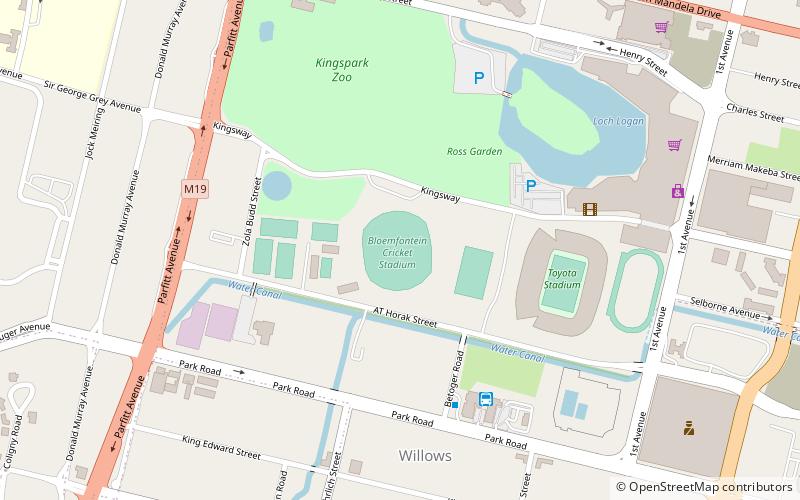
Free State Stadium, Bloemfontein
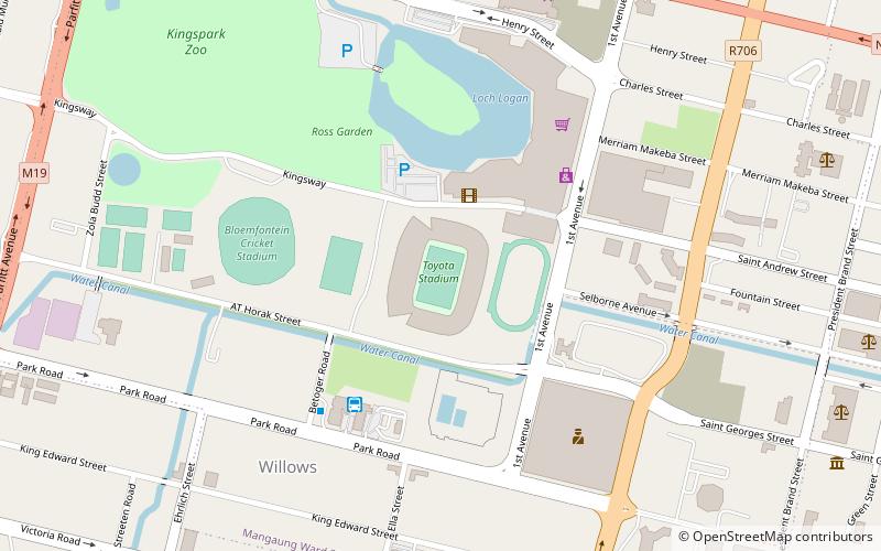
Carte
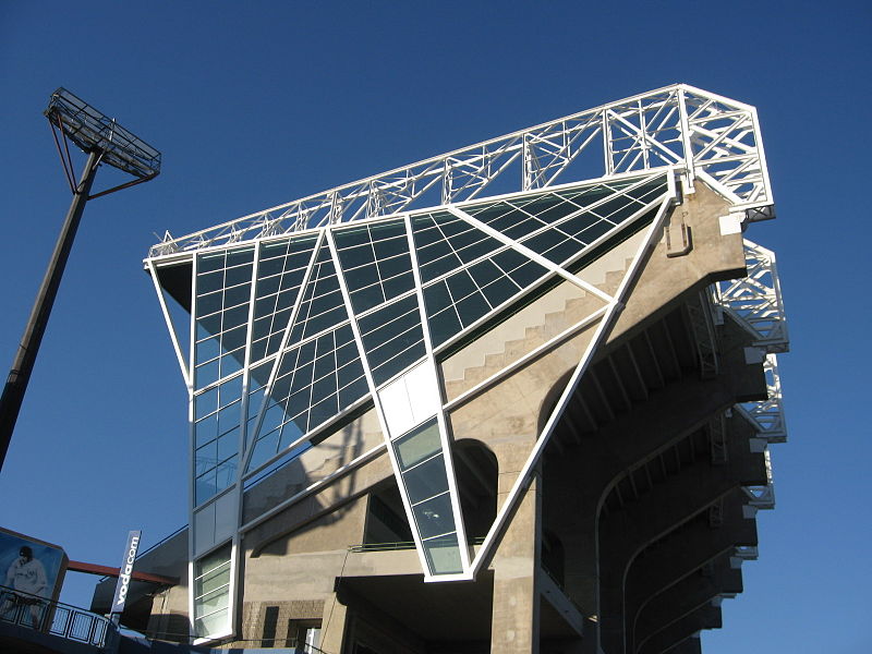
Galerie
Faits et informations pratiques
Le Free State Stadium, connu aussi sous le nom de Vodacom Park Stadium, est un stade situé à Bloemfontein. Il est consacré au rugby à XV et au football. ()
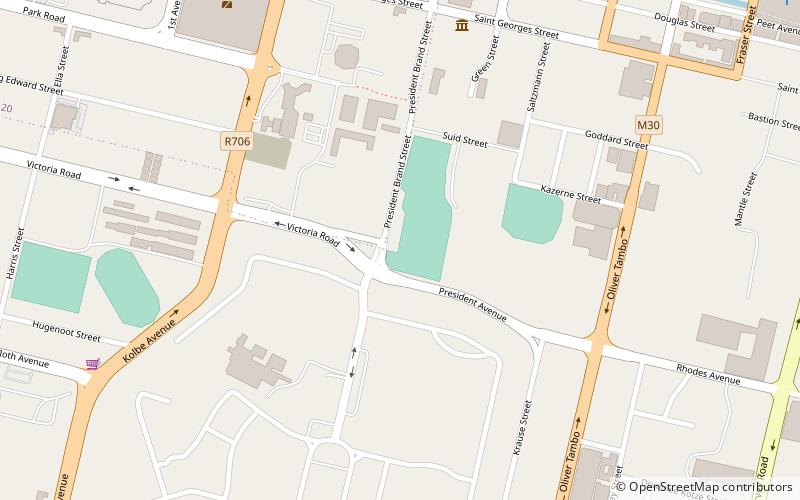
Nom local: Vrystaatstadion Superficie: 54.36 acres (0.0849 mi²)Capacité: 46 milleCoordonnées: 29°7'2"S, 26°12'32"E
Adresse
Att Horak AveBloemfontein
ContactAjouter
Médias sociaux
Ajouter
Excursions d'une journée
Free State Stadium – populaire dans la région (distance de cette attraction)
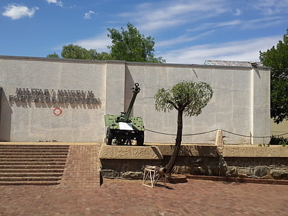
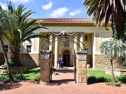
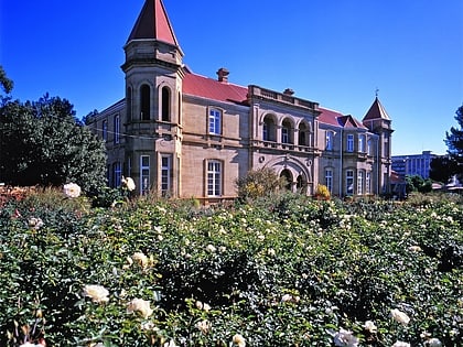
À proximité, vous trouverez notamment des attractions telles que : Queen's Fort Military Museum, Musée national de Bloemfontein, Old Presidency, Cathedral of St Andrew and St Michael.
Foire aux questions (FAQ)
Quelles sont les attractions populaires à proximité ?
Les attractions à proximité comprennent Old Presidency, Bloemfontein (12 min. de marche), Cathédrale du Sacré-Cœur de Bloemfontein, Bloemfontein (15 min. de marche), Musée national de Bloemfontein, Bloemfontein (17 min. de marche), Cathedral of St Andrew and St Michael, Bloemfontein (17 min. de marche).
Comment s'y rendre par les transports publics ?
Stations et arrêts à proximité de Free State Stadium :
Chemin de fer
Chemin de fer
- Gare de Bloemfontein (28 min. de marche)

