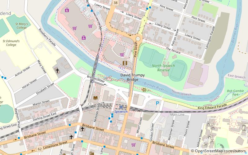
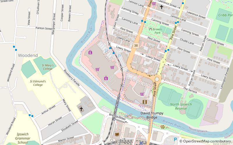
Ipswich Town Wharves, Ipswich

Faits et informations pratiques
Les quais d'Ipswich Town, situés dans la ville d'Ipswich, en Australie, constituent une composante essentielle de l'infrastructure portuaire de la région. Ce port, véritable poumon économique, joue un rôle crucial dans le soutien des activités commerciales et industrielles locales.
Établi sur les rives de la rivière Bremer, le port d'Ipswich est un carrefour pour le transport de marchandises et de matières premières. Il sert de point de transit pour une variété de produits, notamment des céréales, du charbon, et d'autres ressources minérales extraites dans la riche région du Queensland.
Le port est équipé pour gérer un large éventail de navires, des petits bateaux de pêche aux grands cargos. Les installations modernes et les services logistiques offerts aux quais d'Ipswich Town assurent une expédition et une réception efficaces des marchandises.
En plus de son rôle économique, les quais d'Ipswich sont également un point d'intérêt pour les résidents et les visiteurs. L'endroit offre des vues pittoresques sur la rivière et est entouré de parcs et de promenades, ce qui en fait un lieu agréable pour les loisirs et les activités en plein air.
IpswichIpswich
Ipswich Town Wharves – populaire dans la région (distance de cette attraction)
À proximité, vous trouverez notamment des attractions telles que : Riverlink Shopping Centre, St. Mary's Church, Soldiers' Memorial Hall, Walter Burley Griffin Incinerator.
Foire aux questions (FAQ)
Quelles sont les attractions populaires à proximité ?
Comment s'y rendre par les transports publics ?
Chemin de fer
- Ipswich (4 min. de marche)
- North Ipswich (22 min. de marche)
Autobus
- Bell Street Interchange, Stop C • Lignes: 500, 502, 503, 506, 509, 512, 529 (5 min. de marche)
- Bell Street Interchange, Stop A • Lignes: 500, 502, 503, 506, 509, 512, 514, 515 (5 min. de marche)


