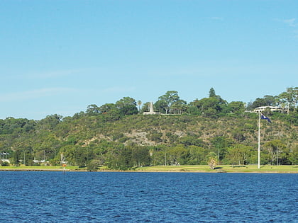
State War Memorial, Perth

Faits et informations pratiques
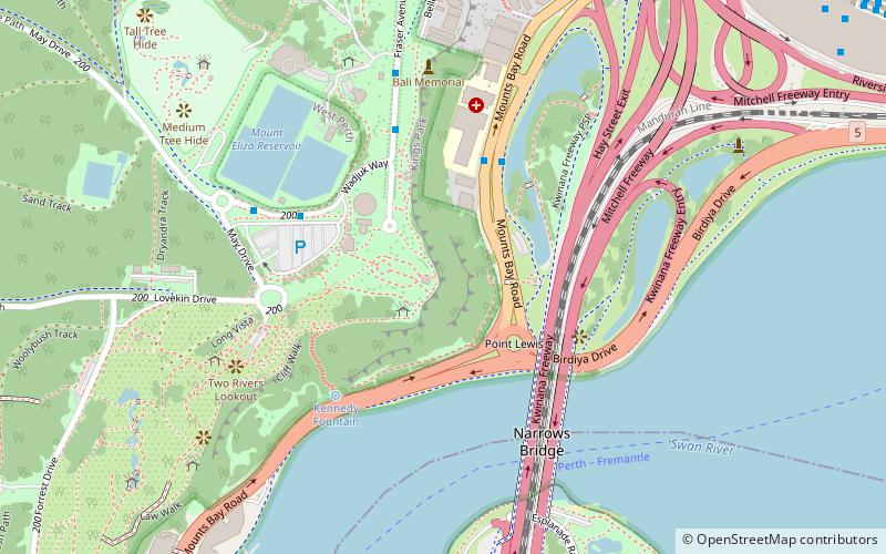
State War Memorial (adresse: Kings Park) est une attraction située à Perth (état Western Australia) et appartenant à la catégorie : mémorial, monuments et statues.
Il est situé à une altitude de 161 pieds, et ses coordonnées géographiques sont 31°57'39"S de latitude et 115°50'42"E de longitude.
State War Memorial se trouve à une courte distance des stations de transport public suivantes : Havelock Street (autobus, 13 min. de marche), Elizabeth Quay (chemin de fer, 17 min. de marche), Elizabeth Quay Ferry Terminal (ferry, 18 min. de marche).
Parmi d'autres lieux et attractions à visiter dans les environs, il y a notamment : Mount Eliza (lac, 1 min. de marche), Narrows Bridge (pont, 6 min. de marche), Gija Jumulu (arbre, 7 min. de marche).
State War Memorial – populaire dans la région (distance de cette attraction)
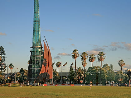
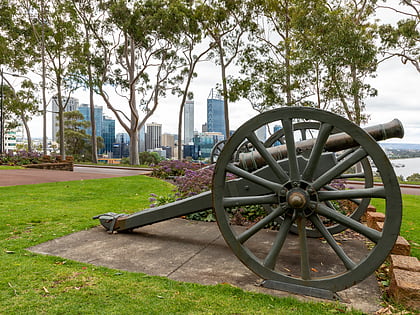
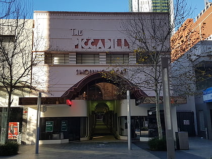
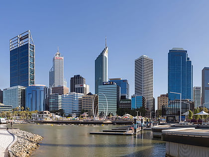
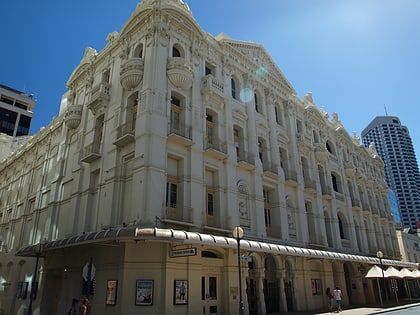
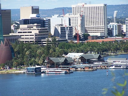
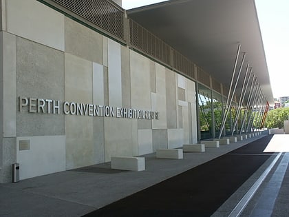
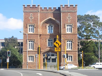
À proximité, vous trouverez notamment des attractions telles que : Mount Eliza, Swan Bells, Kings Park, Piccadilly Theatre and Arcade.
Foire aux questions (FAQ)
Quelles sont les attractions populaires à proximité ?
Comment s'y rendre par les transports publics ?
Autobus
- Havelock Street • Lignes: 5F, 5T (13 min. de marche)
- Harvest Terrace • Lignes: 5F, 5T (15 min. de marche)
Chemin de fer
- Elizabeth Quay (17 min. de marche)
- City West (29 min. de marche)
Ferry
- Elizabeth Quay Ferry Terminal • Lignes: Transperth Ferry - Elizabeth Qua, Transperth Ferry - Mends Street (18 min. de marche)
- Barrack Street Jetty • Lignes: Express (21 min. de marche)

