Claisebrook Road, Perth
Carte
Faits et informations pratiques
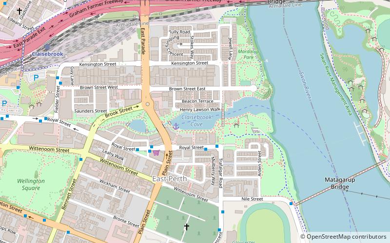
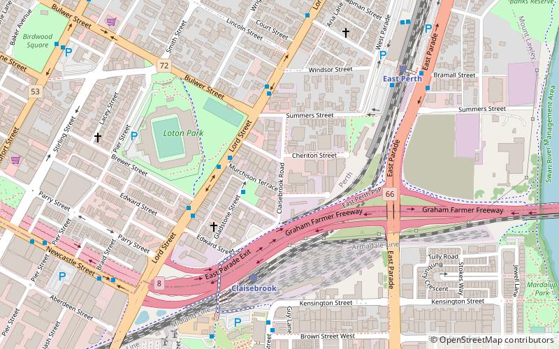
La route de Clissebrook est une route à Perth, en Australie-Occidentale, qui courait à l'origine entre Summers Street au nord jusqu'à Wittenoom St, East Perth au sud.
Coordonnées: 31°56'48"S, 115°52'24"E
Adresse
East PerthPerth
ContactAjouter
Médias sociaux
Ajouter
Excursions d'une journée
Claisebrook Road – populaire dans la région (distance de cette attraction)
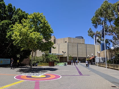
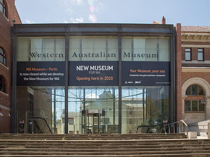
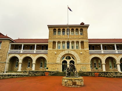
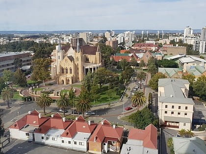
À proximité, vous trouverez notamment des attractions telles que : Art Gallery of Western Australia, Western Australian Museum, Perth Mint, Cathédrale Sainte-Marie de Perth.
Foire aux questions (FAQ)
Quelles sont les attractions populaires à proximité ?
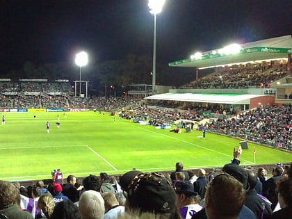
Les attractions à proximité comprennent Perth Oval, Perth (6 min. de marche), Graham Farmer Freeway, Perth (8 min. de marche), Claisebrook Cove, Perth (13 min. de marche), Wellington Square, Perth (14 min. de marche).
Comment s'y rendre par les transports publics ?
Stations et arrêts à proximité de Claisebrook Road :
Chemin de fer
Autobus
Ferry
Chemin de fer
- Claisebrook (5 min. de marche)
- East Perth (8 min. de marche)
Autobus
- Claisebrook Station • Lignes: 3F, 3T (9 min. de marche)
- East Perth TAFE • Lignes: 3F, 3T (10 min. de marche)
Ferry
- Barrack Street Jetty • Lignes: Express (33 min. de marche)
- Elizabeth Quay Ferry Terminal • Lignes: Transperth Ferry - Elizabeth Qua, Transperth Ferry - Mends Street (33 min. de marche)
