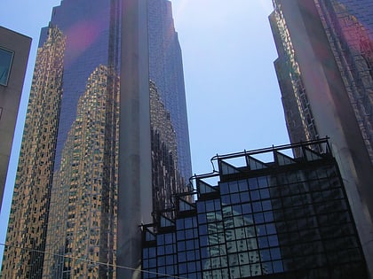
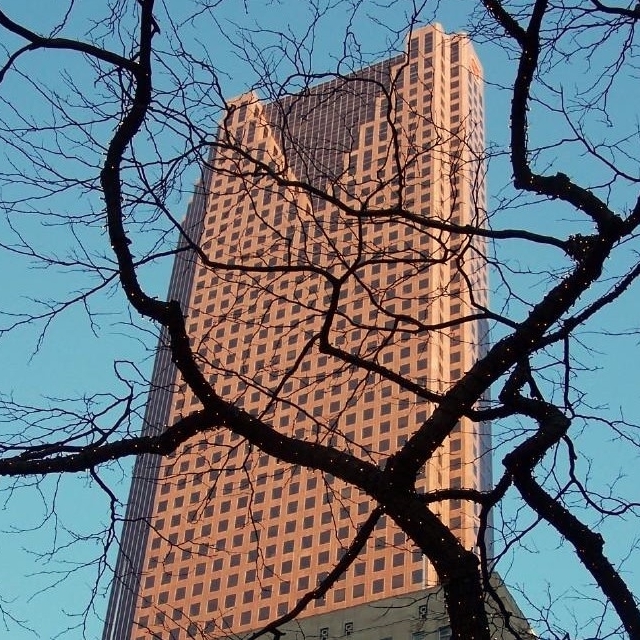
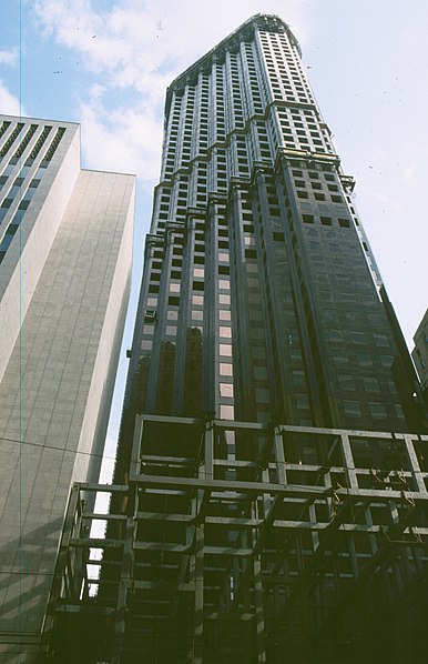
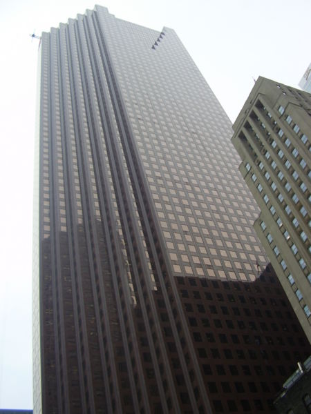
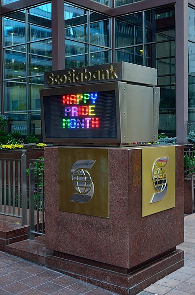
Scotia Plaza, Toronto
Carte
Galerie
Faits et informations pratiques
Autres noms: Complété: 1988 (il y a 38 ans)Style architectural: PostmodernismeNombre d'étages: 68Coordonnées: 43°38'57"N, 79°22'46"W
Adresse
40 Kings St WDowntown Toronto (Bay Street Corridor)Toronto
ContactAjouter
Médias sociaux
Ajouter
Excursions d'une journée
Scotia Plaza – populaire dans la région (distance de cette attraction)
À proximité, vous trouverez notamment des attractions telles que : Temple de la renommée du hockey, First Canadian Place, Temple de la renommée de l'IIHF, Ancien hôtel de ville de Toronto.
Foire aux questions (FAQ)
Quelles sont les attractions populaires à proximité ?
Les attractions à proximité comprennent Financial District, Toronto (2 min. de marche), One King Street West, Toronto (2 min. de marche), Royal Bank Building, Toronto (3 min. de marche), Bay-Adelaide Centre, Toronto (3 min. de marche).
Comment s'y rendre par les transports publics ?
Stations et arrêts à proximité de Scotia Plaza :
Trams
Autobus
Métro
Chemin de fer
Ferry
Trams
- Bay Street • Lignes: 503, 504A, 504B (4 min. de marche)
- Yonge Street, King Station • Lignes: 503, 504A, 504B (2 min. de marche)
Autobus
- King Street West • Lignes: 19 (2 min. de marche)
- Adelaide Street West • Lignes: 19 (3 min. de marche)
Métro
- King • Lignes: 1 (3 min. de marche)
- Union • Lignes: 1 (7 min. de marche)
Chemin de fer
- Gare Union de Toronto (9 min. de marche)
Ferry
- Jack Layton Ferry Terminal • Lignes: Toronto Island Ferry, Ward's Island (17 min. de marche)
- Bathurst Street Terminal • Lignes: Billy Bishop Airport Ferry (36 min. de marche)



 Métro
Métro Tramway
 PATH
PATH


