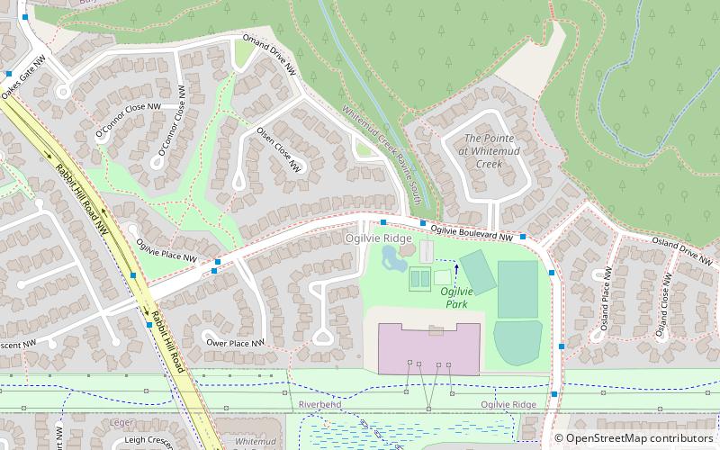
Ogilvie Ridge, Edmonton
Faits et informations pratiques
Ogilvie Ridge est un quartier résidentiel dans le sud-ouest d'Edmonton, en Alberta, Canada surplombant le ravin du ruisseau Whitemud. Il est délimité par le ravin à l'est et au nord. À l'ouest, le quartier est délimité par Rabbit Hill Road et au sud par un couloir de services publics situé juste au nord de 29 Avenue.
Selon le recensement fédéral de 2001, trois sur quatre de toutes les résidences du quartier ont été construits dans les années 1980. Presque toutes les résidences restantes ont été construites après 1990, bien qu'un petit nombre ait été construit avant 1980.
Le type de résidence le plus courant dans le quartier, selon le recensement municipal de 2005, est l'habitation unifamiliale. Ceux-ci représentent plus de quatre sur cinq de toutes les résidences du quartier. Les autres sur cinq sont des duplex. Toutes les 358 résidences sauf une du quartier étaient occupées par le propriétaire.
La communauté est représentée par la Ogilvie Ridge Community League, créée en 1997.
Southwest Edmonton (Ogilvie Ridge)Edmonton
- Autobus
 Autobus
- Déterminer l'itinéraireLeger Transit Centre 23 min. de marche
Ogilvie Ridge – populaire dans la région (distance de cette attraction)
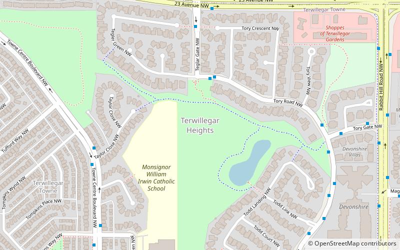
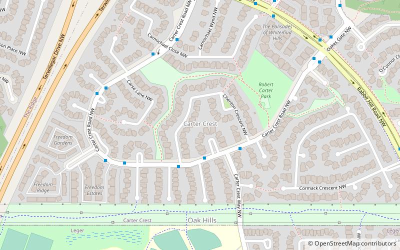
À proximité, vous trouverez notamment des attractions telles que : Terwillegar Heights, Royal Gardens Community League, Edmonton–Whitemud, Carter Crest.


Foire aux questions (FAQ)
Quelles sont les attractions populaires à proximité ?
Comment s'y rendre par les transports publics ?
Autobus
- Leger Transit Centre (23 min. de marche)