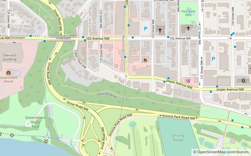
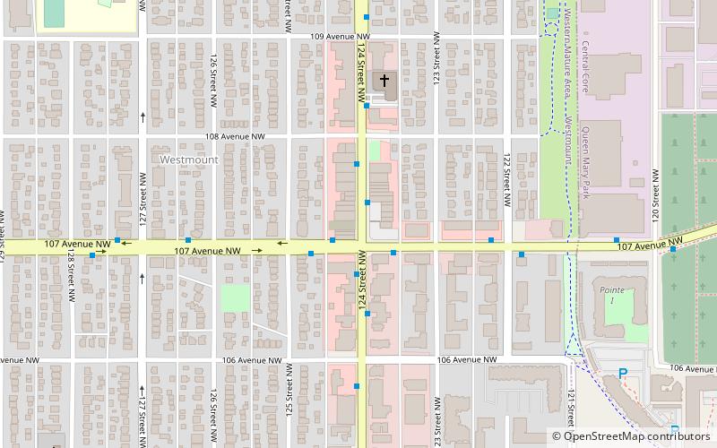
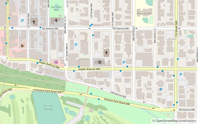
124 Street, Edmonton
Faits et informations pratiques
La 124e Rue d'Edmonton, Canada: un quartier commerçant dynamique et diversifié
La 124e Rue à Edmonton est un vibrant quartier commerçant, réputé pour sa diversité et son esprit communautaire. Située au cœur de la capitale de l'Alberta, cette artère commerciale est bordée d'une variété de boutiques indépendantes, de galeries d'art, de restaurants et de cafés qui attirent tant les résidents locaux que les visiteurs de passage.
Ce district commerçant est caractérisé par son ambiance unique, qui marie à la fois le charme de l'ancien et le dynamisme du neuf. Les façades historiques des bâtiments se mêlent aux enseignes contemporaines, créant un paysage urbain à la fois éclectique et harmonieux. C'est un lieu de rencontre privilégié pour ceux qui recherchent des produits locaux, de l'artisanat, des vêtements de créateurs ou encore des œuvres d'art originales.
Les restaurants de la 124e Rue proposent une gastronomie variée, reflétant le multiculturalisme d'Edmonton. Les visiteurs peuvent savourer des mets allant de la cuisine traditionnelle canadienne aux saveurs internationales, le tout souvent accompagné de produits frais du terroir. Les cafés, quant à eux, offrent des espaces chaleureux où il fait bon se détendre avec une boisson chaude, surtout durant les longs mois d'hiver de la région.
Au-delà de son offre commerciale, la 124e Rue est également un centre culturel où les événements et les festivals animent régulièrement le quartier. Les galeries d'art invitent à découvrir des artistes locaux et internationaux, contribuant à faire de cette rue un véritable foyer de la créativité.
West Edmonton (Westmount)Edmonton
- Autobus
- Métro léger
 Autobus
- Déterminer l'itinéraire124 Street & 102 Ave 3 min. de marche
- Déterminer l'itinéraire123 Street & Jasper Ave 3 min. de marche
- Déterminer l'itinéraireClifton Place & 102 Ave 5 min. de marche
- Déterminer l'itinéraire121 Street & 102 Ave 5 min. de marche
- Déterminer l'itinéraireGovernment Centre Station 29 min. de marche
- Déterminer l'itinéraireUniversity 33 min. de marche
124 Street – populaire dans la région (distance de cette attraction)
À proximité, vous trouverez notamment des attractions telles que : Alberta Legislature Building, Dudley B. Menzies Bridge, William Hawrelak Park, Basilique-cathédrale Saint-Joseph d'Edmonton.


Foire aux questions (FAQ)
Quelles sont les attractions populaires à proximité ?
Comment s'y rendre par les transports publics ?
Autobus
- 124 Street & 102 Ave • Lignes: 2, 5, 900X (3 min. de marche)
- 123 Street & Jasper Ave • Lignes: 2, 2-Owl, 5 (3 min. de marche)
Métro léger
- Government Centre Station • Lignes: 501, 502 (29 min. de marche)
- University • Lignes: 501, 502 (33 min. de marche)