Cherry Street Strauss Trunnion Bascule Bridge, Toronto
Faits et informations pratiques
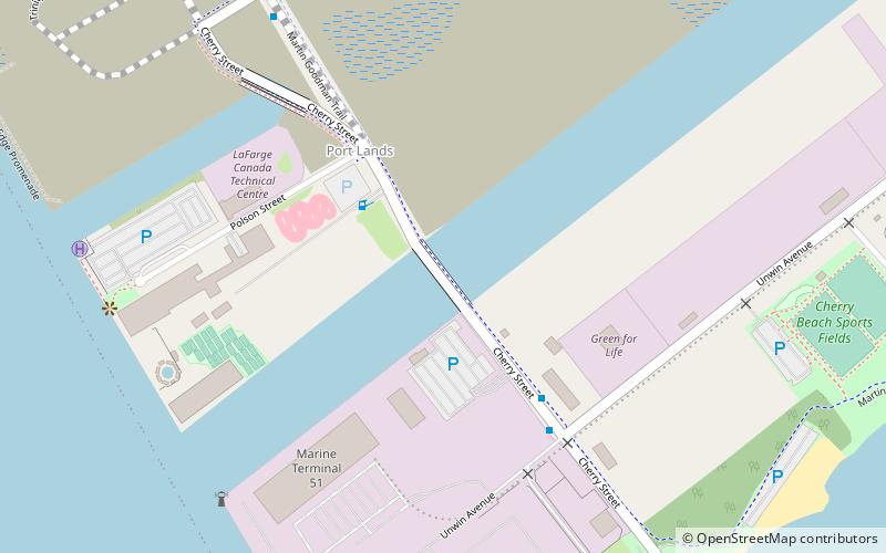
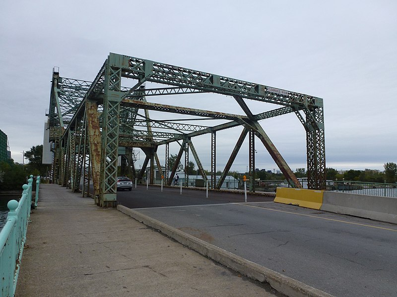
Le pont Cherry Street Strauss Trunnion Bascule est un pont de Bascule et une ferme Warren à Toronto, Ontario, Canada. Situé dans la zone industrielle de Port Lands, il transporte Cherry Street sur le canal du navire de Toronto Harbor et s'ouvre pour permettre aux navires d'accéder au canal et au bassin de virage au-delà. Il y a deux ponts Bascule sur Cherry Street. L'autre pont plus petit traverse le canal Keating, tandis que ce pont traverse le canal du navire.
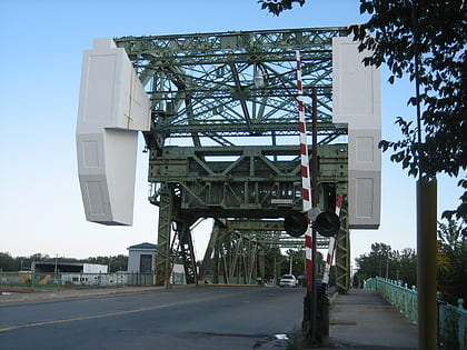
Le pont a été construit en 1930 par la compagnie de Joseph Strauss et de la Dominion Bridge Company. Le côté nord du pont a des contrepoids en béton de 750 tonnes qui permettent au pont de s'ouvrir. Le pont utilise 500 tonnes d'acier dans sa construction. Le pont est conçu pour transporter deux voies de circulation. Il a coûté 500 000 $ CA à construire. Il a été officiellement ouvert le 29 juin 1931 par le maire de Toronto, William Stewart. Le pont a été inscrit en vertu de la loi sur le patrimoine de l'Ontario par la ville de Toronto en 1992 en tant qu'historique architectural.
La ville a dépensé 2,5 millions de dollars pour rénover le pont en 2007. L'Autorité portuaire de Toronto a effectué de nouvelles réparations de décembre 2012 à septembre 2013 au coût de 2 millions de dollars de CA.
Port LandsToronto
Cherry Street Strauss Trunnion Bascule Bridge – populaire dans la région (distance de cette attraction)
À proximité, vous trouverez notamment des attractions telles que : Rebel, St. Lawrence Market, Cherry Beach, Polson Pier.
Foire aux questions (FAQ)
Quelles sont les attractions populaires à proximité ?
Comment s'y rendre par les transports publics ?
Trams
- Mill Street, Distillery Loop • Lignes: 504A (20 min. de marche)
- Front Street East • Lignes: 504A (24 min. de marche)
Ferry
- Ward's Island • Lignes: Ward's Island (21 min. de marche)
Autobus
- Trinity Street • Lignes: 121 (22 min. de marche)
- Cherry Street • Lignes: 121 (22 min. de marche)
 Métro
Métro Tramway
 PATH
PATH

