El Atareen, Alexandrie
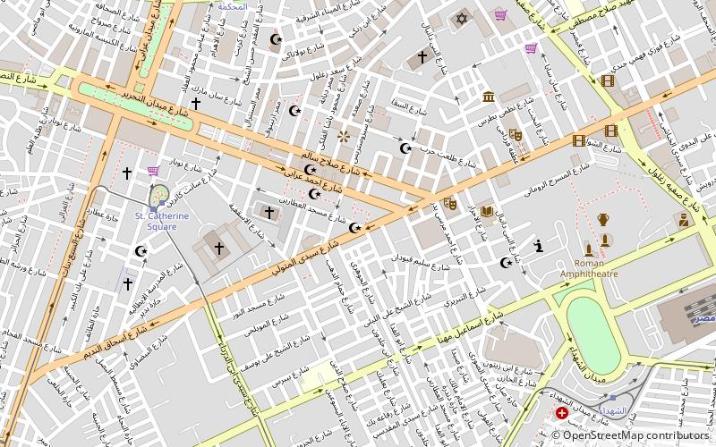
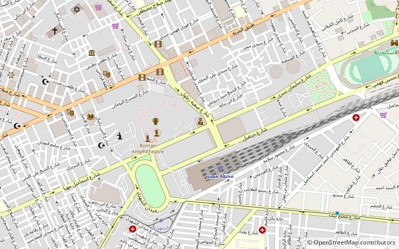
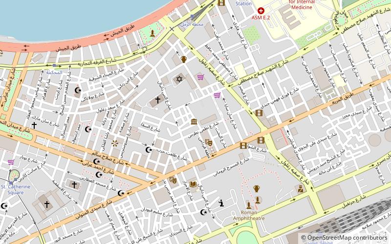
Carte
Faits et informations pratiques
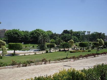
El Atareen est un quartier d'Alexandrie, en Égypte.
Coordonnées: 31°11'42"N, 29°53'53"E
Adresse
Alexandrie
ContactAjouter
Médias sociaux
Ajouter
Excursions d'une journée
El Atareen – populaire dans la région (distance de cette attraction)
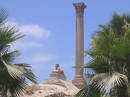
À proximité, vous trouverez notamment des attractions telles que : Colonne de Pompée, Kom El Deka, Musée national d'Alexandrie, Patriarcat orthodoxe d'Alexandrie.
Foire aux questions (FAQ)
Quelles sont les attractions populaires à proximité ?
Les attractions à proximité comprennent Bahary, Alexandrie (1 min. de marche), Université Senghor d'Alexandrie, Alexandrie (4 min. de marche), Cathédrale de l'Annonciation d'Alexandrie, Alexandrie (4 min. de marche), St. Catherine's Cathedral, Alexandrie (5 min. de marche).
Comment s'y rendre par les transports publics ?
Stations et arrêts à proximité de El Atareen :
Trams
Autobus
Chemin de fer
Trams
- St. Catherine Square (8 min. de marche)
- Catherine (8 min. de marche)
Autobus
- محطة الرمل (12 min. de marche)
- Al-Anfushi Bus Station (35 min. de marche)
Chemin de fer
- Gare d'Alexandrie-Misr (14 min. de marche)
- Mahattat al Qabbari (34 min. de marche)
