Harlem River, New York

Carte
Faits et informations pratiques
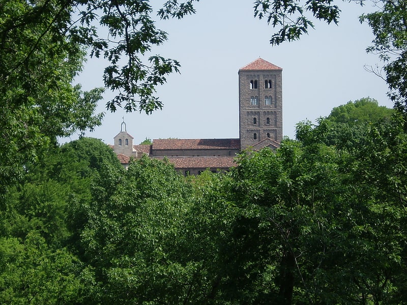
La Harlem River est un détroit des États-Unis situé à New York, entre les arrondissements de Manhattan et du Bronx. Long de 15 kilomètres, il se trouve au débouché du fleuve Hudson dans la baie de New York et il relie l'East River et l'Hudson River. Le Spuyten Duyvil Creek situé sur le tracé de la Harlem River, légèrement au sud de l'ancien tracé du bras de mer, délimite un petit quartier de Manhattan, qui est situé du même côté que le Bronx. ()
Adresse
Upper Manhattan (Washington Heights)New York
ContactAjouter
Médias sociaux
Ajouter
Accès par les transports publics
Arrêts de transport public à proximité du site
- Métro
- Autobus
- Chemin de fer
 Métro
Métro
- Déterminer l'itinéraireDyckman Street 7 min. de marche
- Déterminer l'itinéraire207th Street 11 min. de marche
- Déterminer l'itinéraire191st Street 12 min. de marche
- Déterminer l'itinéraireMorris Heights 8 min. de marche
- Déterminer l'itinéraireUniversity Heights 13 min. de marche
- Déterminer l'itinéraireMarble Hill 32 min. de marche
- Déterminer l'itinéraireTremont 36 min. de marche
- Déterminer l'itinéraireSedgewick Avenue & Harlem River Park Bridge 11 min. de marche
- Déterminer l'itinéraireAmsterdam Avenue & West 178th Street 27 min. de marche
- Déterminer l'itinéraireGeorge Washington Bridge Bus Terminal 29 min. de marche
Cartes MétroCartes
 Manhattan Bus
MétroCartesManhattan BusExcursions d'une journée


Foire aux questions (FAQ)
Quelles sont les attractions populaires à proximité ?
Les attractions à proximité comprennent Parc d'État Roberto-Clemente, New York (7 min. de marche), Dyckman-Hillside Substation, New York (7 min. de marche), St. Jude Church, New York (9 min. de marche), River Park Towers, New York (11 min. de marche).
Comment s'y rendre par les transports publics ?
Stations et arrêts à proximité de Harlem River :
Métro
Chemin de fer
Autobus
Métro
- Dyckman Street • Lignes: 1 (7 min. de marche)
- 207th Street • Lignes: 1 (11 min. de marche)
Chemin de fer
- Morris Heights (8 min. de marche)
- University Heights (13 min. de marche)
Autobus
- Sedgewick Avenue & Harlem River Park Bridge • Lignes: Bx18 (11 min. de marche)
- Amsterdam Avenue & West 178th Street • Lignes: M101 (27 min. de marche)