Cimetière de Mountain View, Oakland

Faits et informations pratiques
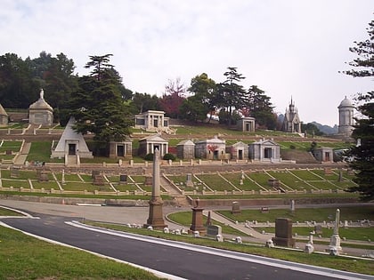
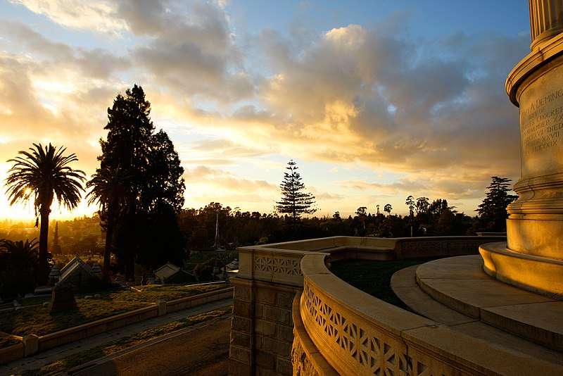
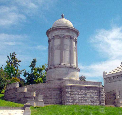
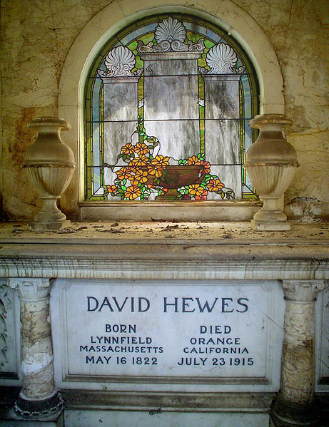
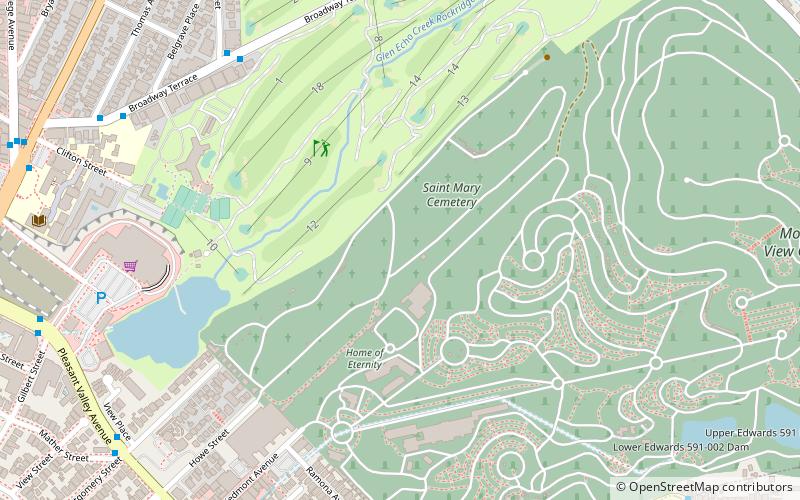
Le Cimetière de Mountain View est un cimetière de 226 acres situé à Oakland, dans le comté d'Alameda, en Californie. Il a été créé en 1863 par un groupe de pionniers de l'East Bay en vertu de la loi sur les cimetières ruraux de Californie de 1859. L'association, qu'ils ont formée, le fait encore fonctionner aujourd'hui. Mountain View a été conçu par Frederick Law Olmsted, l'architecte paysagiste qui a également conçu Central Park à New York et une part importante des universités d'UC Berkeley et de Stanford. ()
Cimetière de Mountain View – populaire dans la région (distance de cette attraction)
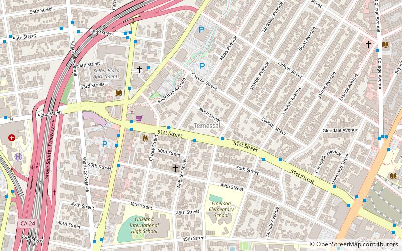
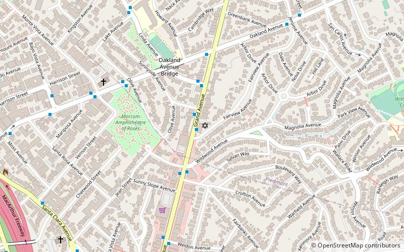
À proximité, vous trouverez notamment des attractions telles que : Piedmont Avenue, Morcom Rose Garden, Piedmont, Temescal Regional Recreational Area.
Foire aux questions (FAQ)
Quelles sont les attractions populaires à proximité ?
Comment s'y rendre par les transports publics ?
Autobus
- Oakland Avenue & Highland Avenue • Lignes: 33 (16 min. de marche)
- Highland Avenue & Craig Avenue • Lignes: 33 (17 min. de marche)
Métro
- Rockridge • Lignes: Yellow (27 min. de marche)
