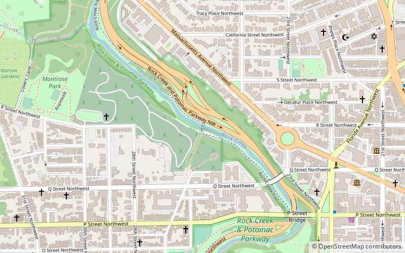
Rock Creek and Potomac Parkway, Washington
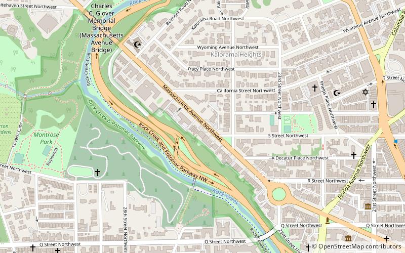
Faits et informations pratiques
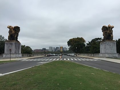
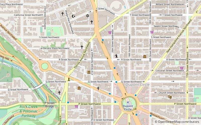
Le Rock Creek et Potomac Parkway, informellement appelé Rock Creek Parkway, est une promenade entretenue par le National Park Service dans le cadre du Rock Creek Park à Washington, D.C.Il s'étend à côté de la rivière Potomac et de Rock Creek dans une direction généralement nord-sud, transportant quatre voies de circulation depuis le Lincoln Memorial et Arlington Memorial Bridge North jusqu'à une jonction avec Beach Drive près de Connecticut Avenue à Calvert Street, N.W. Juste au sud du parc zoologique national.
La promenade a été inscrite au registre national des lieux historiques le 4 mai 2005. Construit de 1923 à 1936, il s'agit "de l'un des exemples les mieux conservés de la première étape du développement de Motor Parkway".
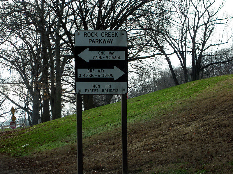
Pendant les heures de pointe, une configuration de voie réversible est utilisée entre l'Ohio Drive et le Connecticut Avenue pour permettre à toutes les voies d'être utilisées pour la direction prédominante du voyage. Plus précisément, la promenade est à sens unique en direction sud en semaine de 6 h 45 à 9 h 30 et à sens unique en direction nord à partir de 15 h 45. à 18 h 30 La promenade est devenue à sens unique pendant les heures de pointe le jour de la Saint-Valentin 1938.
Rock Creek and Potomac Parkway – populaire dans la région (distance de cette attraction)
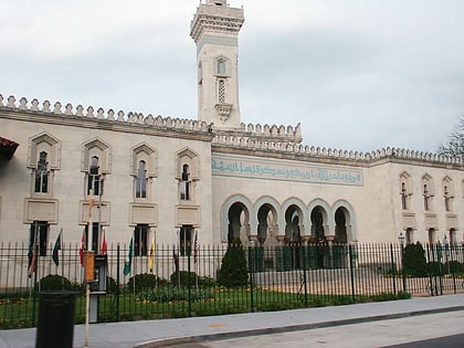
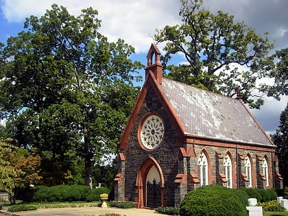
À proximité, vous trouverez notamment des attractions telles que : Centre islamique de Washington, Oak Hill Cemetery, Philip Sheridan, Woodrow Wilson High School.
Foire aux questions (FAQ)
Quelles sont les attractions populaires à proximité ?
Comment s'y rendre par les transports publics ?
Métro
- Dupont Circle • Lignes: Rd (17 min. de marche)
- Woodley Park • Lignes: Rd (19 min. de marche)
Autobus
- MTA Bus Stop • Lignes: 305, 315 (26 min. de marche)
- Lee Hwy at N Nash St • Lignes: 55 (38 min. de marche)
