Bright Angel Trail, Parc national du Grand Canyon
Faits et informations pratiques
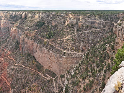
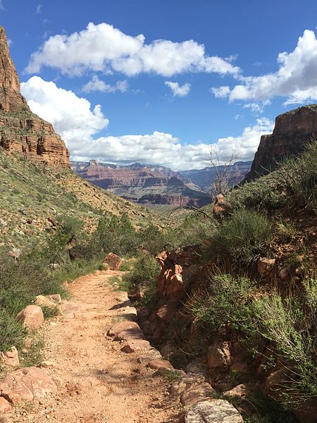
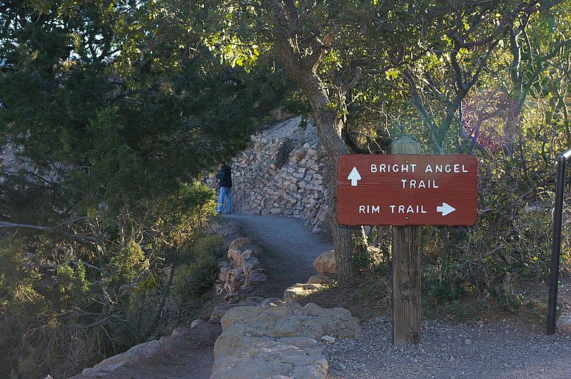
Le Bright Angel Trail est l'un des sentiers de randonnée les plus emblématiques du Parc National du Grand Canyon, situé aux États-Unis. Ce chemin historique offre aux visiteurs une occasion unique de s'immerger dans la majesté naturelle et les panoramas à couper le souffle du Grand Canyon.
D'une longueur de près de 15,5 kilomètres (9,9 miles), le Bright Angel Trail descend depuis le bord sud du canyon jusqu'à la rivière Colorado. Le sentier commence près du Grand Canyon Village, un point d'accès facile pour les touristes séjournant dans le parc.
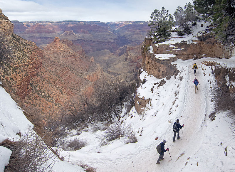
Le sentier est bien entretenu et comprend plusieurs points de repos, où l'eau potable est disponible à certaines périodes de l'année. Les randonneurs peuvent également profiter des toilettes et des abris d'urgence situés le long du chemin. Cependant, il est important de noter que la randonnée sur le Bright Angel Trail peut être exigeante, surtout en été lorsque les températures peuvent devenir extrêmes.
Pour les randonneurs expérimentés, il est possible de descendre jusqu'au fleuve et de revenir en une journée, mais cela n'est pas recommandé en raison de la longueur et de l'intensité du trajet. Beaucoup choisissent de passer la nuit dans le canyon, soit au campement de Bright Angel, soit au Phantom Ranch, qui nécessitent des réservations préalables.
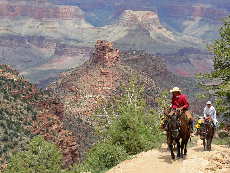
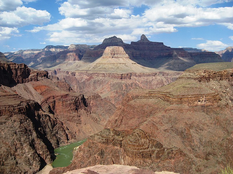
Les vues offertes par le Bright Angel Trail sont parmi les plus spectaculaires du parc. Le sentier serpente à travers des formations rocheuses aux couleurs vives, offrant des perspectives changeantes sur le canyon à chaque tournant. De plus, il est fréquent d'observer des animaux sauvages tels que des muletiers, des cerfs et des condors de Californie.
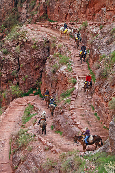
Pour les moins aventureux, des promenades à dos de mule sont également disponibles et permettent de vivre l'expérience du canyon sans l'effort physique de la randonnée. Quelle que soit la manière dont vous choisissez d'explorer le Bright Angel Trail, il offre une expérience inoubliable qui met en lumière la beauté naturelle et l'immensité du Grand Canyon.
36.0553°N 112.1433°WParc national du Grand Canyon 86023
Bright Angel Trail – populaire dans la région (distance de cette attraction)
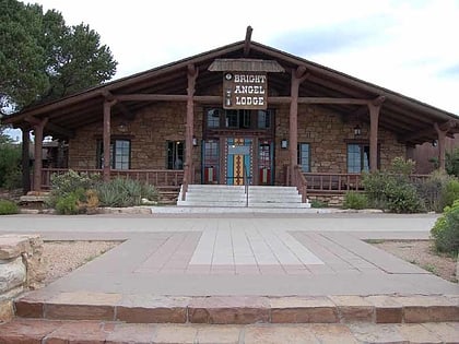
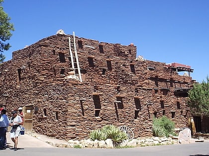
À proximité, vous trouverez notamment des attractions telles que : Kolb Studio, Bright Angel Lodge, Grand Canyon Pioneer Cemetery, Hopi House.
Foire aux questions (FAQ)
Quelles sont les attractions populaires à proximité ?
Comment s'y rendre par les transports publics ?
Autobus
- Hermits Rest Route Transfer • Lignes: Village Route (East-bound), Village Route (West-bound) (1 min. de marche)
- Village Route Transfer • Lignes: Hermits Rest Route (East-bound), Hermits Rest Route (West-bound) (2 min. de marche)
Chemin de fer
- Grand Canyon (11 min. de marche)
