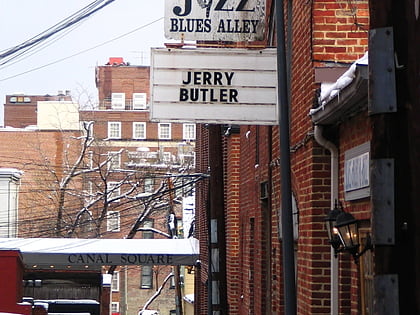
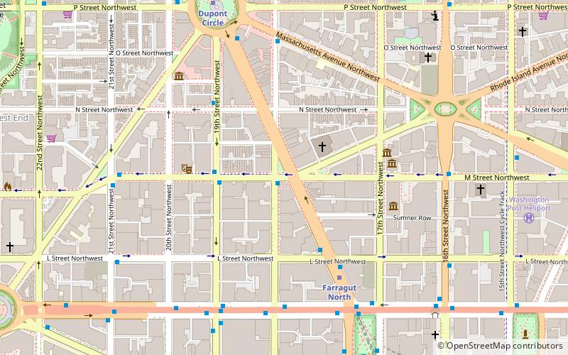
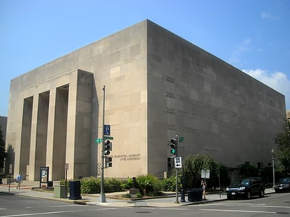
Foggy Bottom, Washington
Faits et informations pratiques
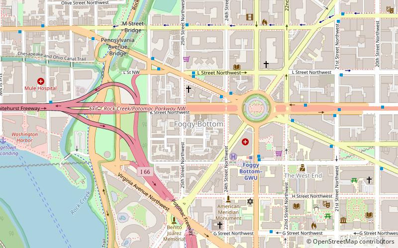
Foggy Bottom est l'un des plus anciens quartiers de Washington D.C, datant du XVIII et XIX siècles. Il se situe à l'ouest de la Maison-Blanche, dans le centre de la ville, dans le Northwest quadrant. Il est délimité par la 17e rue à l'est, Rock Creek Parkway à l'ouest, Constitution Avenue au sud et Pennsylvania Avenue au nord. On pense que Foggy Bottom tient son nom de sa proximité de la rivière, qui rendait susceptible à cet endroit la concentration de fog et de fumée industrielle, une bizarrerie atmosphérique locale. ()
Northwest Washington (Foggy Bottom - GWU - West End)Washington
Foggy Bottom – populaire dans la région (distance de cette attraction)
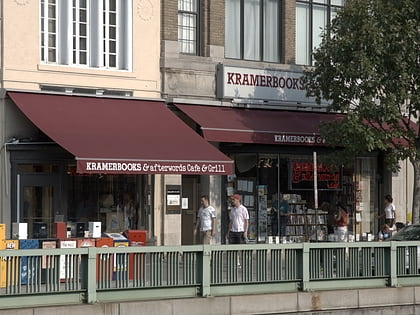
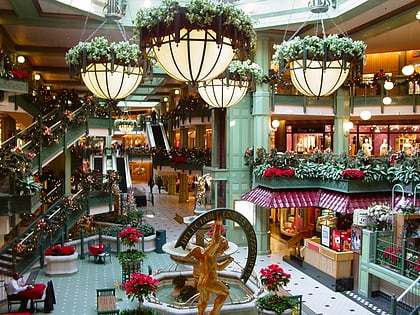
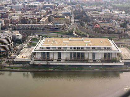
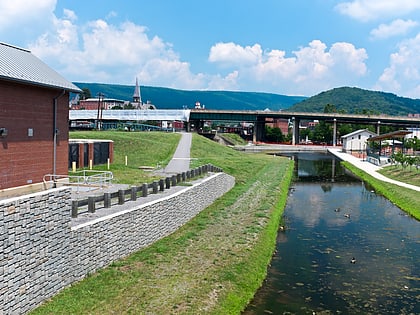
À proximité, vous trouverez notamment des attractions telles que : Kramers, Georgetown Park, John F. Kennedy Center for the Performing Arts, Chesapeake and Ohio Canal National Historical Park.
Foire aux questions (FAQ)
Quelles sont les attractions populaires à proximité ?
Comment s'y rendre par les transports publics ?
Métro
- Foggy Bottom–GWU • Lignes: Bl, Or, Sv (4 min. de marche)
- Farragut West • Lignes: Bl, Or, Sv (17 min. de marche)
Autobus
- 21st St & F St Northwest (12 min. de marche)
- MTA Bus Stop • Lignes: 305, 315 (13 min. de marche)

