Trek Zone

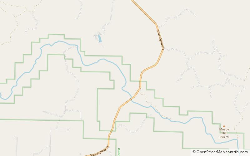
Mosby Hill, Mark Twain National Forest

N° 9 parmi les attractions de Mark Twain National Forest

Nature, Attraction naturelle, Colline
Mosby Hill location map
Carte

Faits et informations pratiques

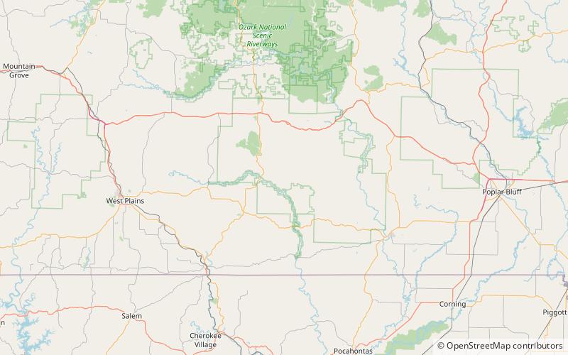
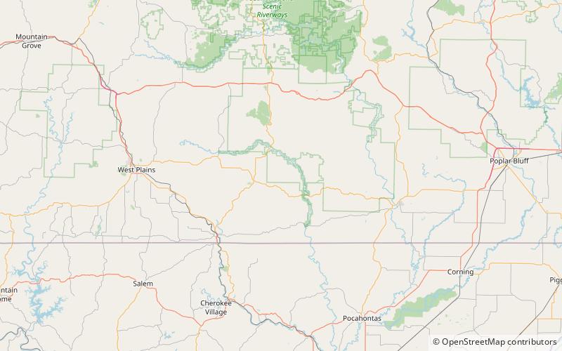
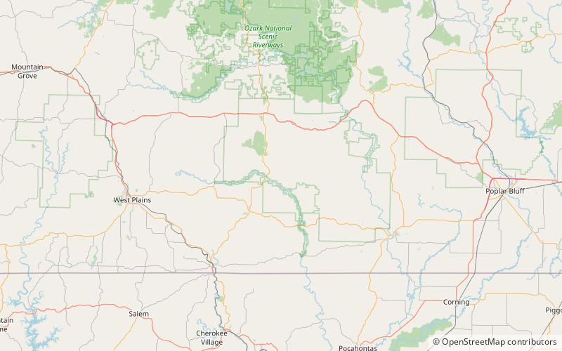
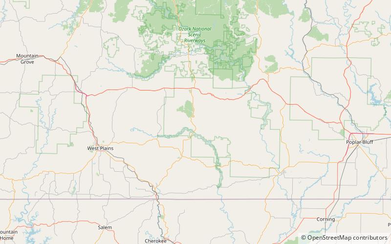
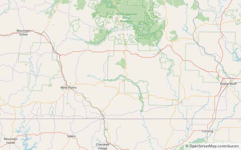
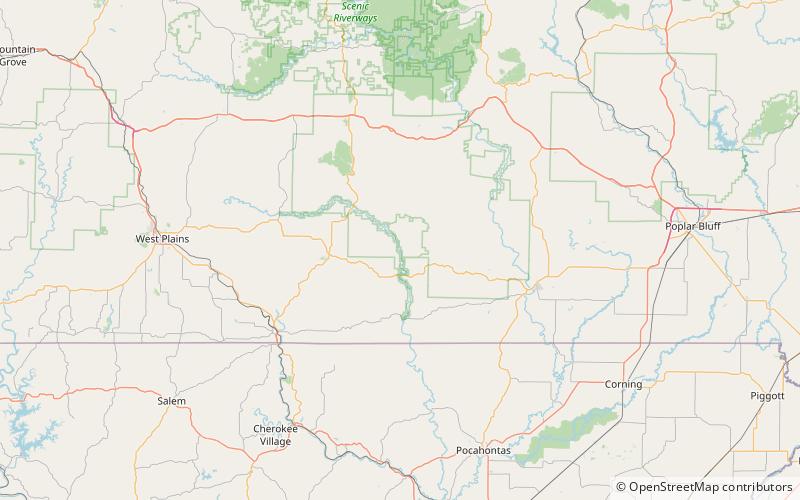
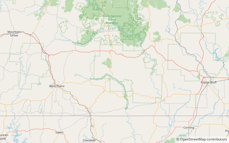
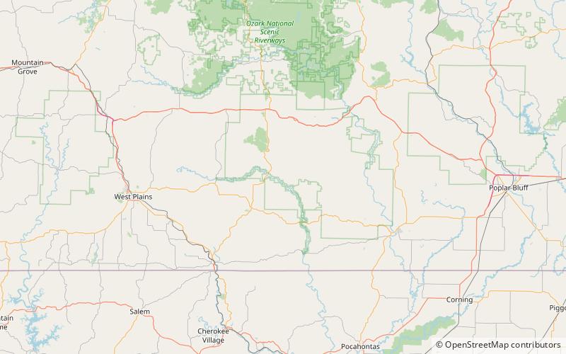
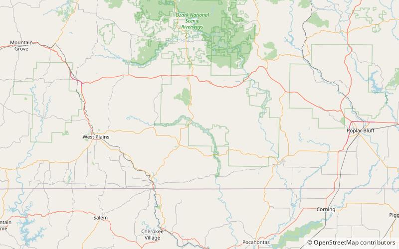
Mosby Hill est un sommet dans le comté d'Oregon dans l'État américain du Missouri avec une altitude de 965 pieds. Le sommet monte à environ 455 pieds au-dessus de la jonction de Hurricane Creek et de la rivière Eleven Point. La communauté de Greer se trouve à environ 3,5 miles au sud-ouest sur la route 19 du Missouri.

Mosby Hill a le nom d'un M. Mosby, un marchand local.

Coordonnées: 36°46'56"N, 91°16'57"W
Adresse

Mark Twain National Forest États-Unis

ContactAjouter
Médias sociaux
Ajouter
Excursions d'une journée

Mosby Hill – populaire dans la région (distance de cette attraction)

À proximité, vous trouverez notamment des attractions telles que : Stinking Pond Hollow, Bat Cave Hollow, Duncan Hollow, Kelly Hollow.

  • stinking pond hollow mark twain national forest location map
    2.7 miNE
  • bat cave hollow mark twain national forest location map
    5 miS
  • duncan hollow mark twain national forest location map
    3.3 miNW
  • kelly hollow mark twain national forest location map
    1.7 miN
  • tram hollow mark twain national forest location map
    4.9 miNW
  • becky hollow mark twain national forest location map
    5.8 miNW
  • freeman hollow mark twain national forest location map
    7.1 miSE
  • cook hollow mark twain national forest location map
    4 miN
  • fox hollow mark twain national forest location map
    0.7 miNE

Que faire ensuite ? Allez à la page de la région de missouri Missouri ou voyez tous les lieux et attractions aux États-Unis.