Freedom Trail, Boston
Faits et informations pratiques
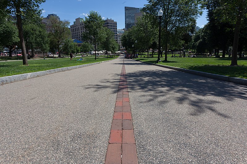
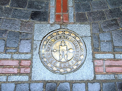
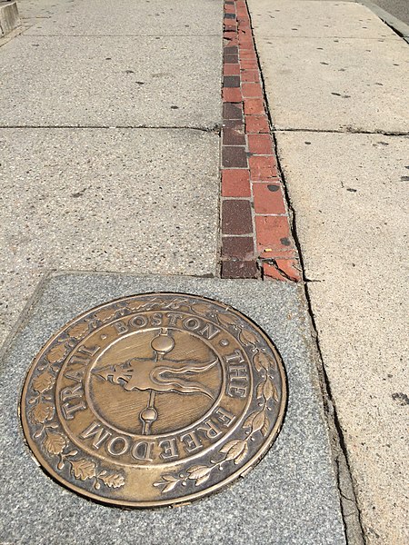
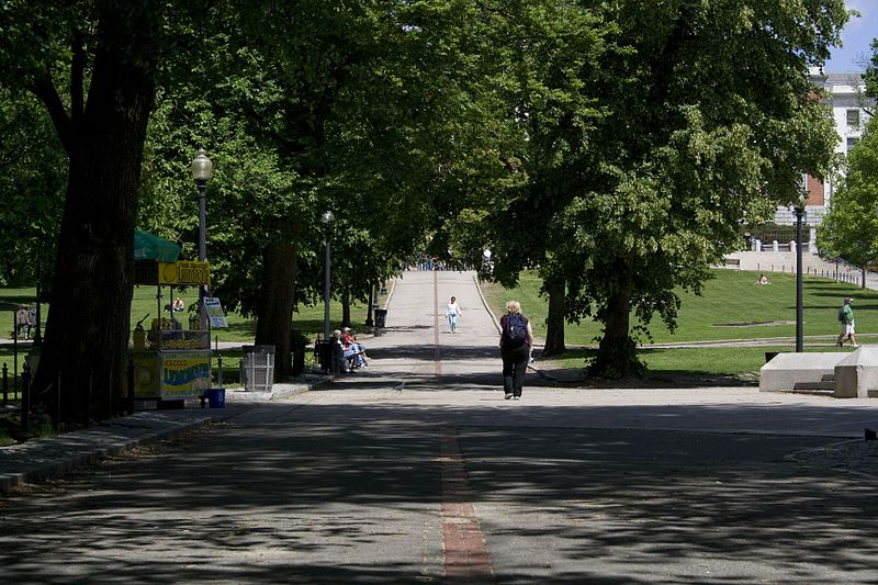
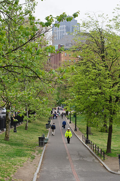
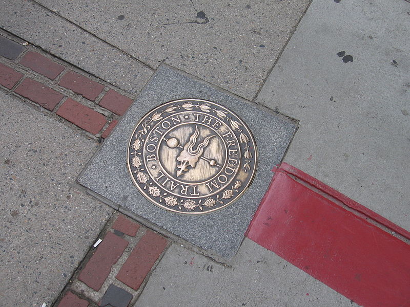
Le Freedom Trail, ou Chemin de la Liberté en français, est bien plus qu'un simple sentier de randonnée : c'est une plongée dans l'histoire américaine, niché au cœur de Boston, aux États-Unis. Ce parcours de 4 kilomètres, balisé par une ligne rouge qui serpente à travers les rues pavées de la ville, conduit les visiteurs à travers 16 sites historiques majeurs qui ont joué un rôle prépondérant dans la Révolution américaine.
Créé en 1951, le Freedom Trail est devenu une attraction incontournable pour quiconque s'intéresse à l'histoire des États-Unis. Il commence au Boston Common, le plus ancien parc public du pays, et se termine au célèbre Bunker Hill Monument, en passant par des lieux emblématiques tels que le Massachusetts State House, la maison de Paul Revere et l'USS Constitution, le plus vieux navire de guerre encore à flot.
La visite du Freedom Trail est une expérience éducative, offrant un aperçu des événements clés qui ont conduit à l'indépendance des États-Unis, comme le Massacre de Boston ou la Tea Party de Boston. Des guides en costumes d'époque sont souvent disponibles pour enrichir l'expérience avec des récits captivants et des anecdotes historiques.
Ouvert toute l'année, le Freedom Trail attire aussi bien les amateurs d'histoire que les familles en quête d'une activité culturelle enrichissante. C'est une invitation à marcher sur les pas des pères fondateurs de la nation américaine et à comprendre le contexte de leur lutte pour la liberté.
Freedom Trail – populaire dans la région (distance de cette attraction)
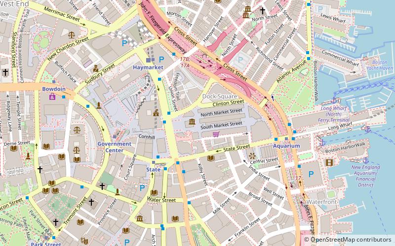
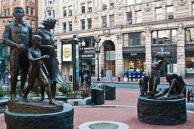
À proximité, vous trouverez notamment des attractions telles que : Quincy Market, Faneuil Hall, Old State House, Downtown Boston.
Foire aux questions (FAQ)
Quelles sont les attractions populaires à proximité ?
Comment s'y rendre par les transports publics ?
Métro
- State • Lignes: Blue, Orange (1 min. de marche)
- Government Center • Lignes: Blue (5 min. de marche)
Métro léger
- Government Center • Lignes: C, D, E (4 min. de marche)
- Haymarket • Lignes: C, E (7 min. de marche)
Autobus
- Federal St @ Franklin St • Lignes: 504 (6 min. de marche)
- Otis St @ Summer St • Lignes: 504, 7 (8 min. de marche)
Chemin de fer
- South Station (13 min. de marche)
- North Station (16 min. de marche)



 MBTA Subway


