Cimetière national d'Alexandria, Alexandria

Galerie (2)
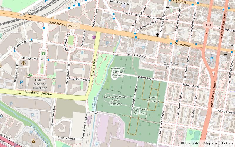
Carte

Carte
Galerie
Faits et informations pratiques
Le cimetière national d'Alexandria est un cimetière national des États-Unis, d'environ 5,5 acres, situé dans la ville d'Alexandria, en Virginie. Administré par le département américain des anciens combattants, il est l'un des cimetières nationaux d'origine qui ont été fondés en 1862. En 2014, il est un site de plus de 4 500 inhumations. Le cimetière peut accueillir les cendres des personnes admissibles. ()
Construit: 1862 (il y a 164 ans)Coordonnées: 38°48'6"N, 77°3'30"W
Adresse
1450 Wilkes StAlexandria (Southwest Quadrant)Alexandria 22314-3424
Contact
+1 703-221-2183
Médias sociaux
Ajouter
Accès par les transports publics
Arrêts de transport public à proximité du site
- Métro
- Autobus
- Chemin de fer
 Métro
Métro
- Déterminer l'itinéraireDuke St + S Peyton St 5 min. de marche
- Déterminer l'itinéraireDaingerfield Rd + Prince St 6 min. de marche
- Déterminer l'itinéraireKing St Metro Station 9 min. de marche
- Déterminer l'itinéraireKing Street–Old Town 10 min. de marche
- Déterminer l'itinéraireEisenhower Avenue 18 min. de marche
- Déterminer l'itinéraireBraddock Road 23 min. de marche
- Déterminer l'itinéraireUnion Station 10 min. de marche
Excursions d'une journée
Cimetière national d'Alexandria – populaire dans la région (distance de cette attraction)
À proximité, vous trouverez notamment des attractions telles que : George Washington Masonic National Memorial, Torpedo Factory Art Center, Christ Church, Farmers Market.


Foire aux questions (FAQ)
Quelles sont les attractions populaires à proximité ?
Les attractions à proximité comprennent Orange and Alexandria Railroad Hooff's Run Bridge, Alexandria (3 min. de marche), St. Paul's Cemetery, Alexandria (5 min. de marche), Franklin and Armfield Office, Alexandria (7 min. de marche), National Inventors Hall of Fame, Alexandria (9 min. de marche).
Comment s'y rendre par les transports publics ?
Stations et arrêts à proximité de Cimetière national d'Alexandria :
Autobus
Métro
Chemin de fer
Autobus
- Duke St + S Peyton St • Lignes: At5 (5 min. de marche)
- Daingerfield Rd + Prince St • Lignes: At5 (6 min. de marche)
Métro
- King Street–Old Town • Lignes: Bl, Yl (10 min. de marche)
- Eisenhower Avenue • Lignes: Yl (18 min. de marche)
Chemin de fer
- Union Station (10 min. de marche)