Rock Creek and Potomac Parkway Bridge near P Street, Washington

Faits et informations pratiques
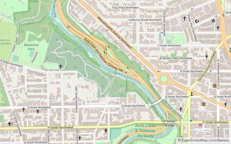
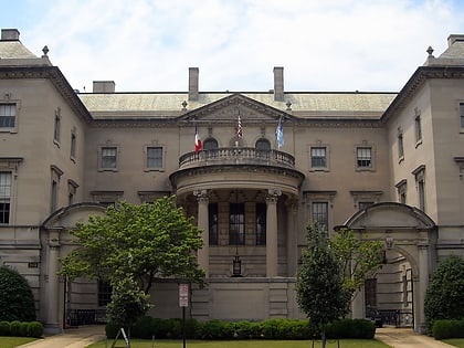
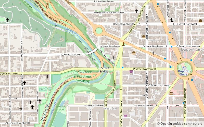
Le pont Rock Creek et Potomac Parkway près de P Street est un pont transportant le rock rock et Potomac Parkway à travers Rock Creek à Washington, DC. C'est le milieu de trois ponts où le rock rock et Potomac Parkway passe d'un côté de la rivière à l'autre, les autres étant le pont de la rue L et le pont de Shoreham Hill. Le pont se situe près du site d'une rivière historique Ford utilisé par des soldats français se rendant à Yorktown en 1781. Le pont est en béton armé face à Mica Schist.
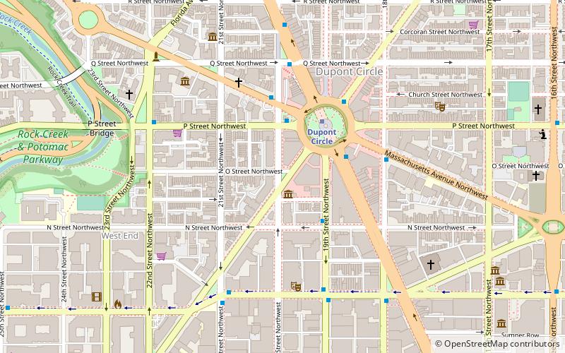
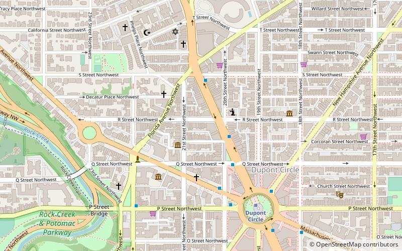
Northwest Washington (Dupont Circle)Washington
Rock Creek and Potomac Parkway Bridge near P Street – populaire dans la région (distance de cette attraction)
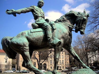
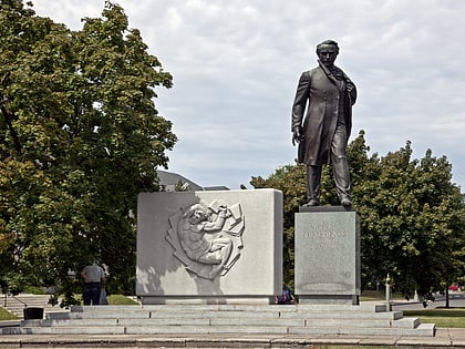
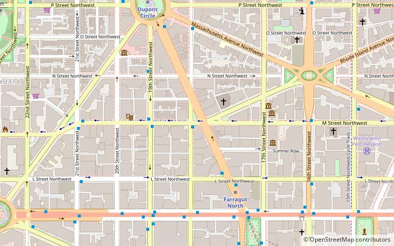
À proximité, vous trouverez notamment des attractions telles que : Kramers, The Phillips Collection, Philip Sheridan, Sonny Bono Memorial Park.
Foire aux questions (FAQ)
Quelles sont les attractions populaires à proximité ?
Comment s'y rendre par les transports publics ?
Métro
- Dupont Circle • Lignes: Rd (10 min. de marche)
- Foggy Bottom–GWU • Lignes: Bl, Or, Sv (17 min. de marche)
Autobus
- MTA Bus Stop • Lignes: 305, 315 (17 min. de marche)
- 21st St & F St Northwest (24 min. de marche)

