Uptown Oakland, Oakland
Carte
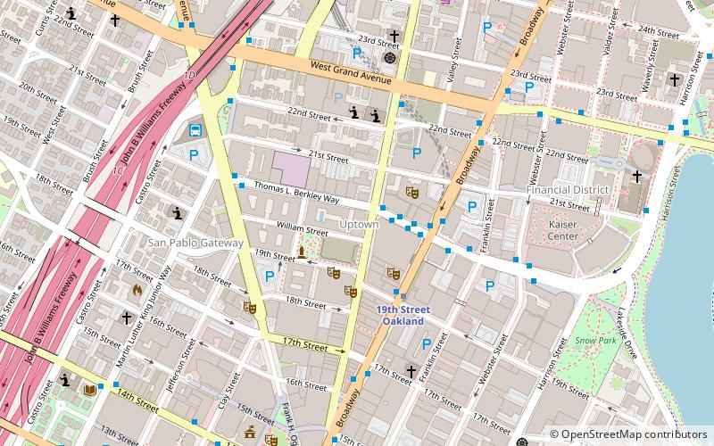
Carte

Faits et informations pratiques
Uptown Oakland est un quartier d'Oakland, en Californie, situé dans l'extrémité nord du centre-ville. Il est situé à peu près entre West Grand Avenue au nord, l'Interstate 980 à l'ouest, le centre-ville et la 14e rue au sud, et Broadway à l'est. Le quartier est devenu un district de divertissement important ces dernières années.
Coordonnées: 37°48'33"N, 122°16'12"W
Adresse
630 Thomas L. Berkley WayCentral Oakland (Downtown Oakland)Oakland
ContactAjouter
Médias sociaux
Ajouter
Excursions d'une journée
Uptown Oakland – populaire dans la région (distance de cette attraction)
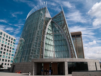
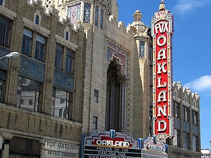
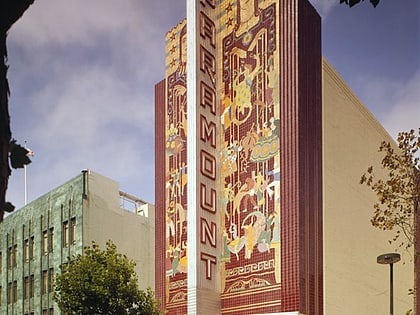
À proximité, vous trouverez notamment des attractions telles que : Cathedral of Christ the Light, Fox Theater, Paramount Theatre, African American Museum and Library at Oakland.
Foire aux questions (FAQ)
Quelles sont les attractions populaires à proximité ?
Les attractions à proximité comprennent Sanchez Contemporary, Oakland (1 min. de marche), Paramount Theatre, Oakland (2 min. de marche), Fox Theater, Oakland (3 min. de marche), California Digital Library, Oakland (4 min. de marche).
Comment s'y rendre par les transports publics ?
Stations et arrêts à proximité de Uptown Oakland :
Autobus
Métro
Chemin de fer
Ferry
Autobus
- Thomas L. Berkley Way & Telegraph Avenue • Lignes: 18, 6, 712, 72, 72M, 72R, 800, 802 (2 min. de marche)
- Uptown Transit Center (2 min. de marche)
Métro
- 19th Street Oakland • Lignes: Orange, Red, Yellow (3 min. de marche)
- Oakland City Center - 12th Street • Lignes: Orange, Red, Yellow (11 min. de marche)
Chemin de fer
- Gare d'Oakland (28 min. de marche)
Ferry
- Oakland Jack London Square Terminal • Lignes: San Francisco Bay Ferry (30 min. de marche)
