St. Cyprian Roman Catholic Church, Philadelphie
Carte

Carte

Faits et informations pratiques
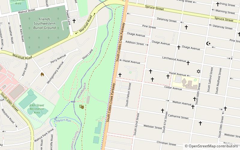
L'église catholique St. Cyprian est située à l'angle sud-ouest de la 63rd St. et de l'avenue Hazel au 525 Cobbs Creek Parkway à Cobbs Creek, Philadelphie, Pennsylvanie.
Coordonnées: 39°57'12"N, 75°14'54"W
Adresse
West Philadelphia (Cobbs Creek)Philadelphie
ContactAjouter
Médias sociaux
Ajouter
Excursions d'une journée
St. Cyprian Roman Catholic Church – populaire dans la région (distance de cette attraction)
À proximité, vous trouverez notamment des attractions telles que : Yeadon, City of Conquerors Church, Millbourne, Parc Meridian Hill.
Foire aux questions (FAQ)
Quelles sont les attractions populaires à proximité ?
Les attractions à proximité comprennent Cobbs Creek, Philadelphie (14 min. de marche), City of Conquerors Church, Philadelphie (16 min. de marche), Millbourne, Philadelphie (18 min. de marche), Angora, Philadelphie (22 min. de marche).
Comment s'y rendre par les transports publics ?
Stations et arrêts à proximité de St. Cyprian Roman Catholic Church :
Métro
Trams
Chemin de fer
Autobus
Métro léger
Métro
- 63rd Street • Lignes: Mfl (17 min. de marche)
- 60th Street • Lignes: Mfl (19 min. de marche)
Trams
- Baltimore Avenue & 59th Street • Lignes: 34 (17 min. de marche)
Chemin de fer
- Angora (21 min. de marche)
- Fernwood-Yeadon (27 min. de marche)
Autobus
- 69th Street Transportation Center South Terminal (21 min. de marche)
- 69th Street Transportation Center North Terminal (22 min. de marche)
Métro léger
- 69th Street Transportation Center • Lignes: Nhsl (22 min. de marche)

 SEPTA Chemin de fer régional


