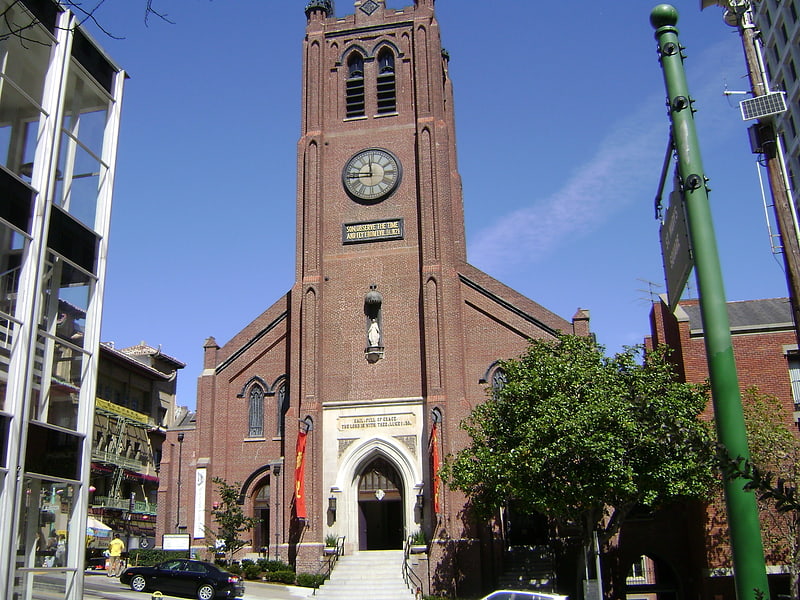
Presbyterian Church in Chinatown, San Francisco
Carte
Faits et informations pratiques
L'Église presbytérienne de Chinatown, établie à San Francisco en 1853, est la plus ancienne église chinoise américaine ou asiatique d'Amérique du Nord.
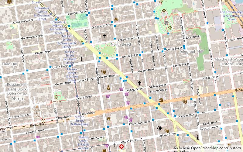
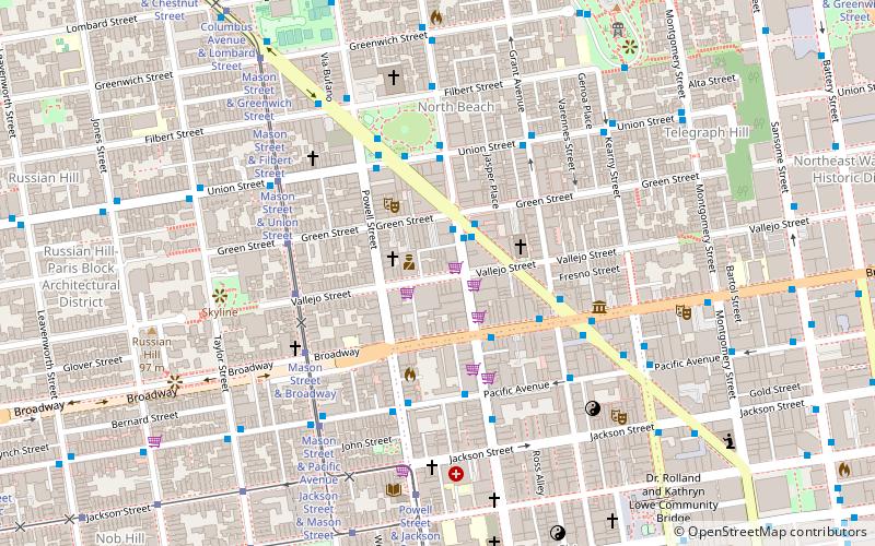
Coordonnées: 37°47'44"N, 122°24'34"W
Adresse
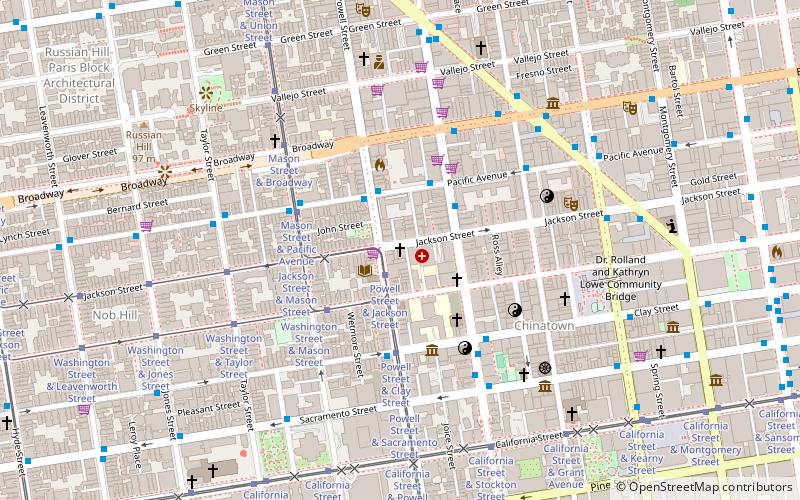
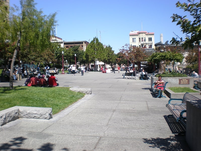
Northeast San Francisco (Chinatown)San Francisco
Contact
+1 888-212-3203
Médias sociaux
Ajouter
Accès par les transports publics
Arrêts de transport public à proximité du site
- Métro
- Autobus
- Trolleybus
- Trams
- Métro léger
- Ferry
 Métro
Métro
- Déterminer l'itinérairePowell Street & Jackson Street 1 min. de marche
- Déterminer l'itinéraireWashington Street & Powell Street 2 min. de marche
- Déterminer l'itinéraireMason Street & Jackson Street 3 min. de marche
- Déterminer l'itinéraireWashington Street & Mason Street 4 min. de marche
- Déterminer l'itinérairePacific Avenue & Powell Street 2 min. de marche
- Déterminer l'itinéraireStockton Street & Washington Street 3 min. de marche
- Déterminer l'itinéraireStockton Street & Washington Street 3 min. de marche
- Déterminer l'itinéraireClay Street & Powell Street 4 min. de marche
- Déterminer l'itinéraireMontgomery Street 16 min. de marche
- Déterminer l'itinéraireEmbarcadero 19 min. de marche
- Déterminer l'itinérairePowell Street 20 min. de marche
- Déterminer l'itinéraireCivic Center 29 min. de marche
- Déterminer l'itinéraireMontgomery Street 16 min. de marche
- Déterminer l'itinéraireEmbarcadero 19 min. de marche
- Déterminer l'itinérairePowell Street 20 min. de marche
- Déterminer l'itinéraireFerry Building Gate B 23 min. de marche
- Déterminer l'itinérairePier 41 Gate 1 25 min. de marche
- Déterminer l'itinérairePier 41 Gate 2 25 min. de marche
Cartes Muni Metro
Muni MetroExcursions d'une journée
Presbyterian Church in Chinatown – populaire dans la région (distance de cette attraction)
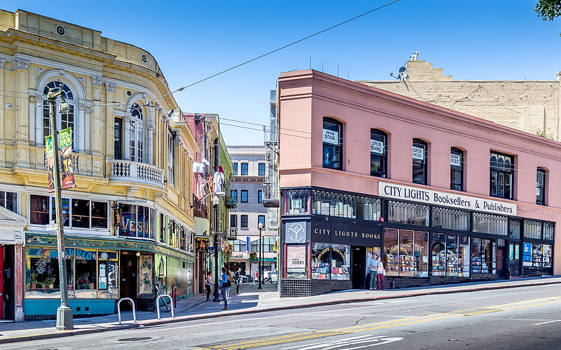
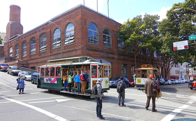
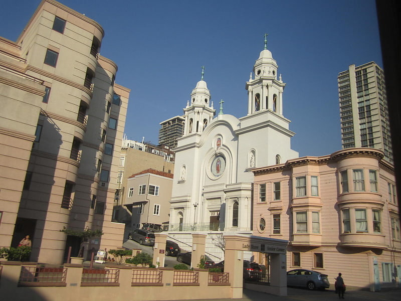
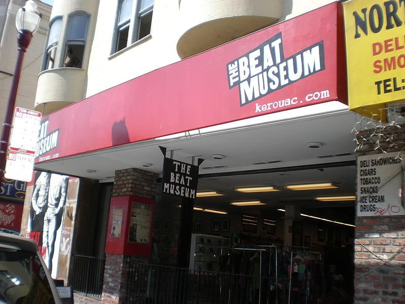
À proximité, vous trouverez notamment des attractions telles que : City Lights Booksellers & Publishers, San Francisco Cable Car Museum, Nuestra Senora De Guadalupe Church, Old St. Mary's Cathedral.

Foire aux questions (FAQ)
Quelles sont les attractions populaires à proximité ?
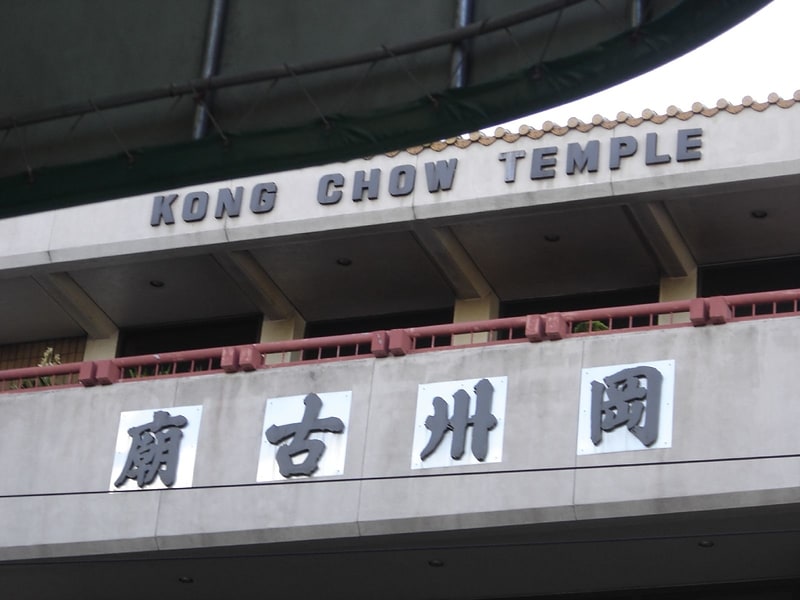
Les attractions à proximité comprennent Stockton Street, San Francisco (3 min. de marche), Ross Alley, San Francisco (4 min. de marche), Jackson Street, San Francisco (4 min. de marche), Kong Chow Temple, San Francisco (4 min. de marche).
Comment s'y rendre par les transports publics ?
Stations et arrêts à proximité de Presbyterian Church in Chinatown :
Trams
Autobus
Trolleybus
Métro léger
Métro
Ferry
Trams
- Powell Street & Jackson Street (1 min. de marche)
- Washington Street & Powell Street (2 min. de marche)
Autobus
- Pacific Avenue & Powell Street • Lignes: 12 (2 min. de marche)
- Stockton Street & Washington Street • Lignes: 30, 8, 91 (3 min. de marche)
Trolleybus
- Stockton Street & Washington Street • Lignes: 30, 45 (3 min. de marche)
- Clay Street & Powell Street • Lignes: 1 (4 min. de marche)
Métro léger
- Montgomery Street • Lignes: K, N, S, T (16 min. de marche)
- Embarcadero • Lignes: K, N, S, T (19 min. de marche)
Métro
- Montgomery Street • Lignes: Blue, Green, Red, Yellow (16 min. de marche)
- Embarcadero • Lignes: Blue, Green, Red, Yellow (19 min. de marche)
Ferry
- Ferry Building Gate B • Lignes: San Francisco Bay Ferry (23 min. de marche)
- Pier 41 Gate 1 • Lignes: Blue & Gold Fleet (25 min. de marche)