Baltimore Highlands, Baltimore
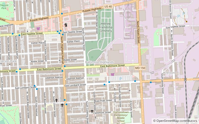
Carte
Faits et informations pratiques
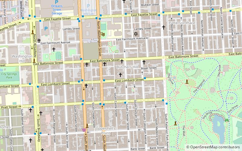
Baltimore Highlands est un quartier du district sud-est de Baltimore, situé entre les quartiers de Patterson Park et Kresson. Ses limites sont tracées par Pulaski Highway, East Baltimore Street, Haven Street et North Clinton Street.
Coordonnées: 39°17'34"N, 76°33'59"W
Adresse
Southeastern Baltimore (Baltimore Highlands)Baltimore
ContactAjouter
Médias sociaux
Ajouter
Excursions d'une journée
Baltimore Highlands – populaire dans la région (distance de cette attraction)
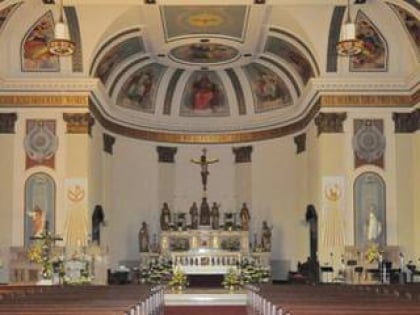
À proximité, vous trouverez notamment des attractions telles que : Greektown, Patterson Park, St. Michael the Archangel Ukrainian Catholic Church, Saint Wenceslaus Roman Catholic Church.
Foire aux questions (FAQ)
Quelles sont les attractions populaires à proximité ?
Les attractions à proximité comprennent Highlandtown, Baltimore (10 min. de marche), Ellwood Park, Baltimore (12 min. de marche), Highlandtown Arts District, Baltimore (13 min. de marche), Kresson, Baltimore (14 min. de marche).
Comment s'y rendre par les transports publics ?
Stations et arrêts à proximité de Baltimore Highlands :
Autobus
Autobus
- Highland Avenue & Gough Street Southbound • Lignes: 22, Bl (9 min. de marche)
- Eastern Avenue & Grundy Street Far-side Westbound • Lignes: 22, 63, Bl (12 min. de marche)


