Phoenix Union High School District, Phoenix
Carte
Faits et informations pratiques
Le Phoenix Union High School District est un district scolaire uniquement au lycée de Phoenix, Arizona, États-Unis. Il s'agit de l'un des cinq districts du secondaire dans la région de Phoenix.
Coordonnées: 33°30'8"N, 112°4'29"W
Adresse
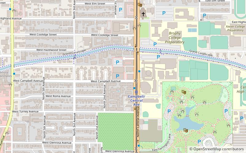
Encanto (Central Avenue Corridor)Phoenix
ContactAjouter
Médias sociaux
Ajouter
Accès par les transports publics
Arrêts de transport public à proximité du site
- Autobus
 Autobus
- Déterminer l'itinérairedisused 12 min. de marche
- Déterminer l'itinéraire13414 13 min. de marche
Excursions d'une journée
Phoenix Union High School District – populaire dans la région (distance de cette attraction)
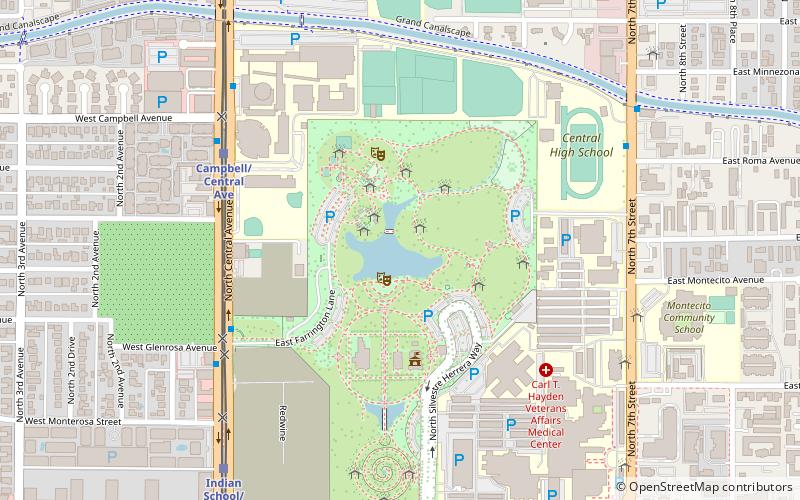
À proximité, vous trouverez notamment des attractions telles que : Rhythm Room, Brophy College Chapel, Steele Indian School Park, Central Avenue Corridor.


Foire aux questions (FAQ)
Quelles sont les attractions populaires à proximité ?
Les attractions à proximité comprennent Brophy College Chapel, Phoenix (7 min. de marche), Steele Indian School Park Pond, Phoenix (9 min. de marche), Steele Indian School Park, Phoenix (9 min. de marche), Central Avenue Corridor, Phoenix (18 min. de marche).
Comment s'y rendre par les transports publics ?
Stations et arrêts à proximité de Phoenix Union High School District :
Autobus
Autobus
- disused • Lignes: 50 Eb (12 min. de marche)
- 13414 • Lignes: 50 Wb (13 min. de marche)