Shriners, Lexington
Carte
Faits et informations pratiques
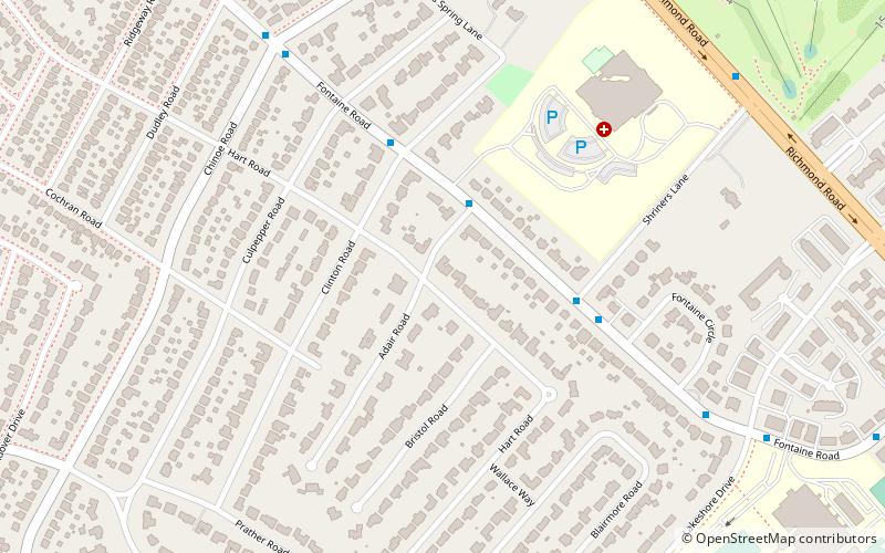
Shriners est un quartier du sud-est de Lexington, Kentucky, États-Unis. Il tire son nom de l'hôpital Shriners pour les enfants situés en son sein. Ses limites sont Richmond Road à l'est, Chinoe Road au nord, Cooper Drive à l'ouest et Lakeview Drive au sud.
Superficie: 0.45 mi²Coordonnées: 38°1'12"N, 84°28'34"W
Adresse
ShrinersLexington
ContactAjouter
Médias sociaux
Ajouter
Accès par les transports publics
Arrêts de transport public à proximité du site
- Autobus
 Autobus
- Déterminer l'itinéraire202 Woodland @ Maxwell Inbound 38 min. de marche
- Déterminer l'itinéraire201 Woodland @ Euclid Inbound 38 min. de marche
- Déterminer l'itinéraire610 Maxwell @ 460 Outbound 39 min. de marche
Excursions d'une journée


Foire aux questions (FAQ)
Quelles sont les attractions populaires à proximité ?
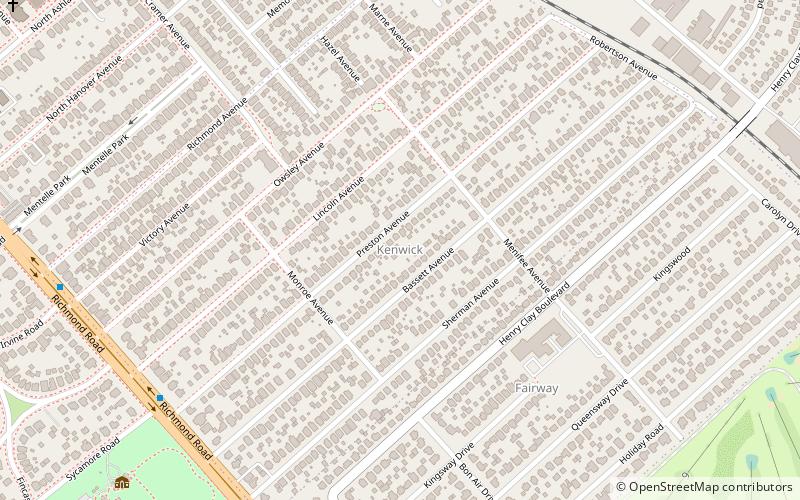
Les attractions à proximité comprennent Ashland, Lexington (17 min. de marche), Cathedral of Christ the King, Lexington (17 min. de marche), Kenwick, Lexington (24 min. de marche).
Comment s'y rendre par les transports publics ?
Stations et arrêts à proximité de Shriners :
Autobus
Autobus
- 202 Woodland @ Maxwell Inbound • Lignes: 16 Southland Dr (38 min. de marche)
- 201 Woodland @ Euclid Inbound • Lignes: 16 Southland Dr (38 min. de marche)